FOR A COMPLETE LIST OF ALL LOCATIONS WHERE SIGNS HAVE BEEN INSTALLED, SEE THE “Installed Signs by Location” PAGE.
Signs have been installed at the following EXAMPLE locations (click on images for larger view):
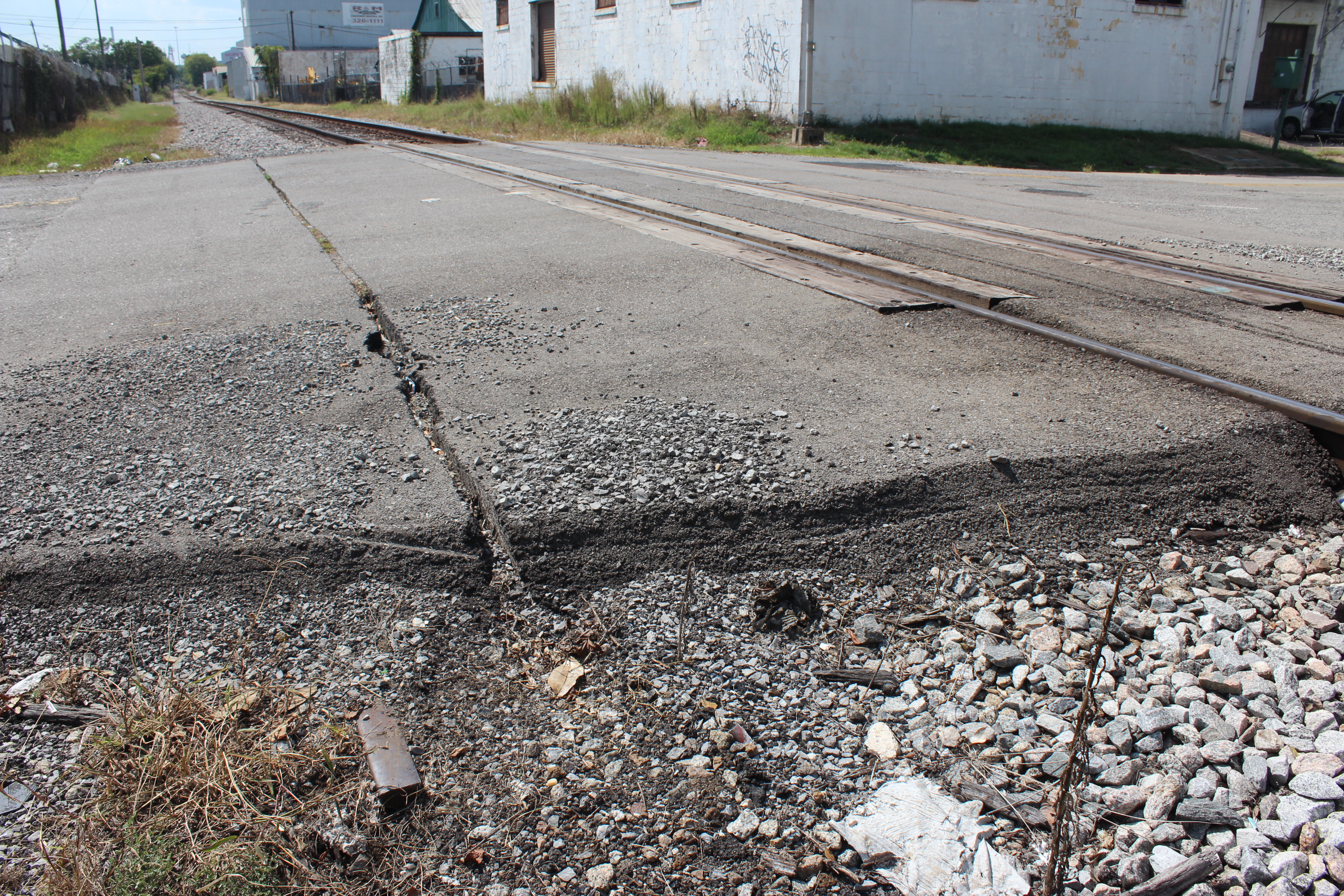
First Sign Installed:
Historical significance of the location where the first BMRR sign was installed: The sign was installed on private property at 6501 1st Avenue South across the street from the site of the former Woodlawn Depot which has been preserved and moved to the Heart of Dixie Railroad Museum. (See “Historic Photographs” page for more information about the depot.) The property owner is proud that he owns part of the old BMRR roadbed and had acquired it knowing that he was getting the BMRR roadbed. This site is historical not only because of its location at the former Woodlawn Depot site but also because (1) the crossties are about 6 inches underground here (my first probe with a rod to determine a location for the sign hit a crosstie!), (2) the sign post is installed in BMRR ballast rock underground between the crossties, (3) you can see the patches in the asphalt on 1st Avenue South where the rails were taken up, and (4) the “Stop” sign at this site is mounted on a piece of the railroad track that the city must have driven into the ground for mounting the stop sign — a piece of BMRR rail was probably laying around and they re-purposed it!
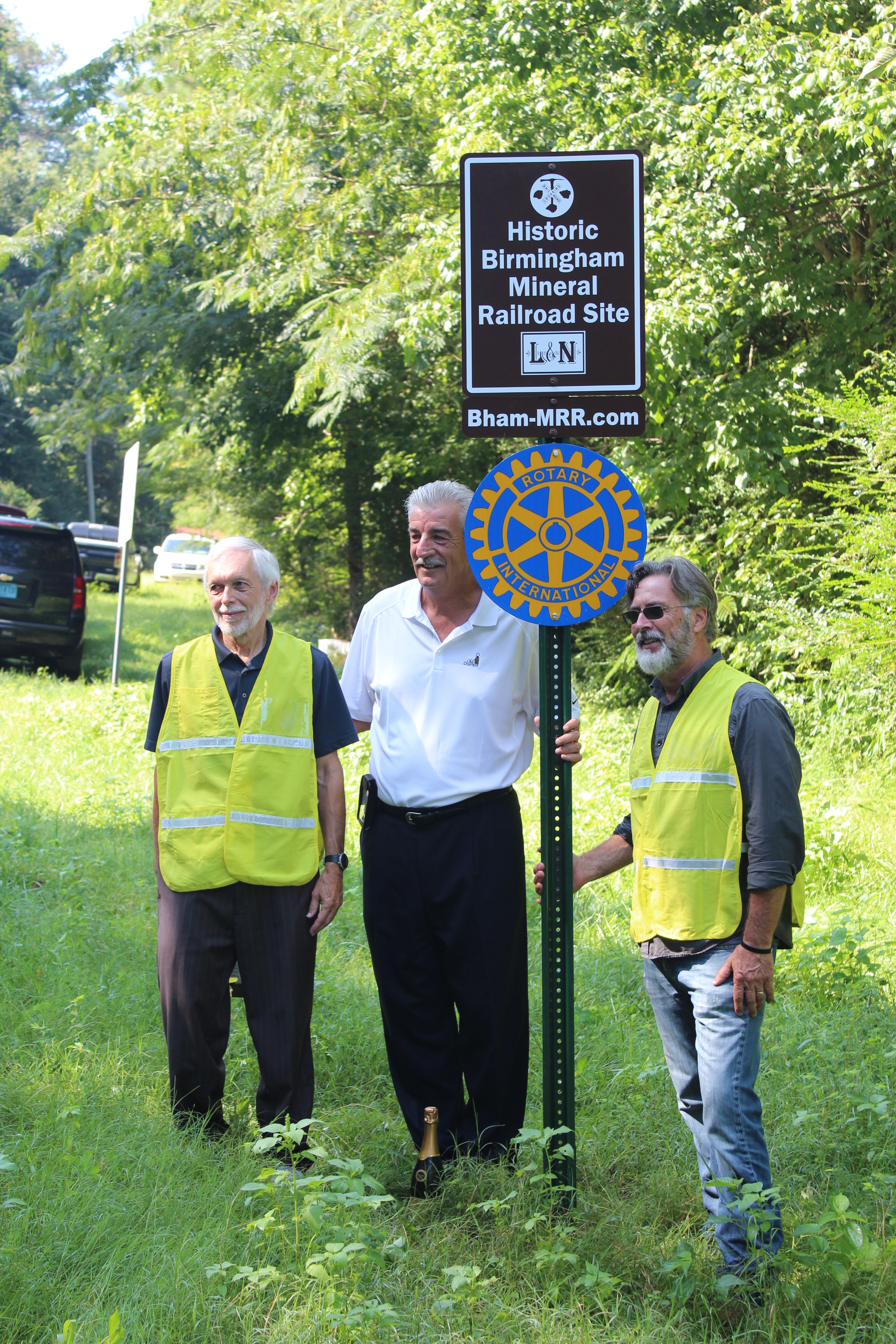
100th!!! Sign installation and ceremony on August 4, 2016:
On August 4, 2016, the 100th BMRR sign was installed near the BMRR former Huntsville Branch No. 2 on the north end of Old Highway 75 in the former Village Springs community just south of the Blount County / Jefferson County line. Village Springs had been a railroad and mining community during the period of the BMRR and was served by the BMRR passenger and freight trains. As part of the installation of that milestone sign (see photographs below), a short ceremony attended by 20 people was conducted and included the following two representatives from the Trussville Daybreak Rotary Club which sponsored this 100th sign: President Tommy Trimm and member Joe Knight. Mr. Knight also represented the Jefferson County Commission which had granted approval for this sign to be installed on Jefferson County right-of-way. This installation is in Commissioner Knight’s district. A big Thank You to the Trussville Daybreak Rotary Club and to the Jefferson County Commission for making possible this 100th sign!
The installation and dedication ceremony included the following remarks:
With installation of this 100th sign, we are honoring the Historic Birmingham Mineral Railroad and the Economic Development that it brought to the Birmingham area, and especially to outlying communities such as where we are today (Village Springs).
By installing these BMRR signs, we are helping to ensure that the history and memory of that important railroad will not be forgotten and will be passed-on to the young people of today and in the future.

150th!!! Sign installation on May 23, 2020:
On May 23, 2020, the 150th BMRR sign was installed in Adger (west Jefferson County) alongside Johns Road at the active “spur” track serving Blue Creek Mines at Adger. The sign is located next to active tracks that are on the former roadbed of the BMRR Blue Creek Extension to Tuscaloosa.
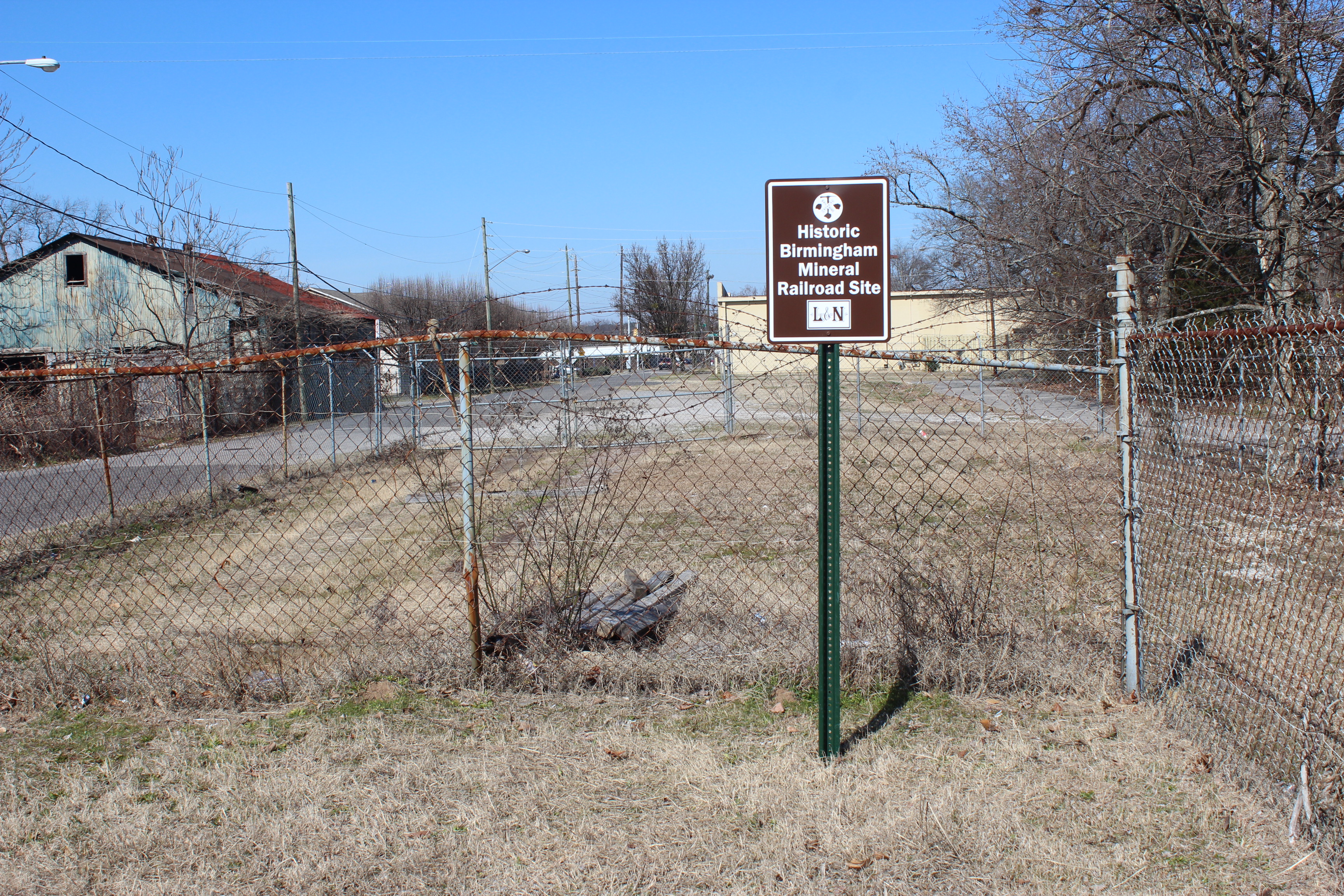
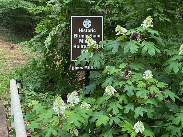
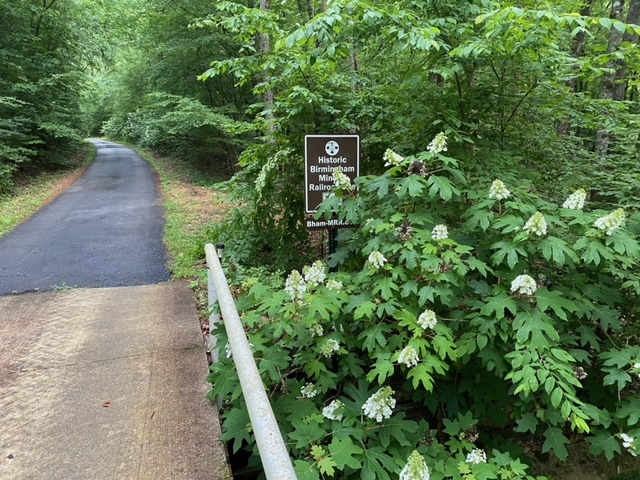
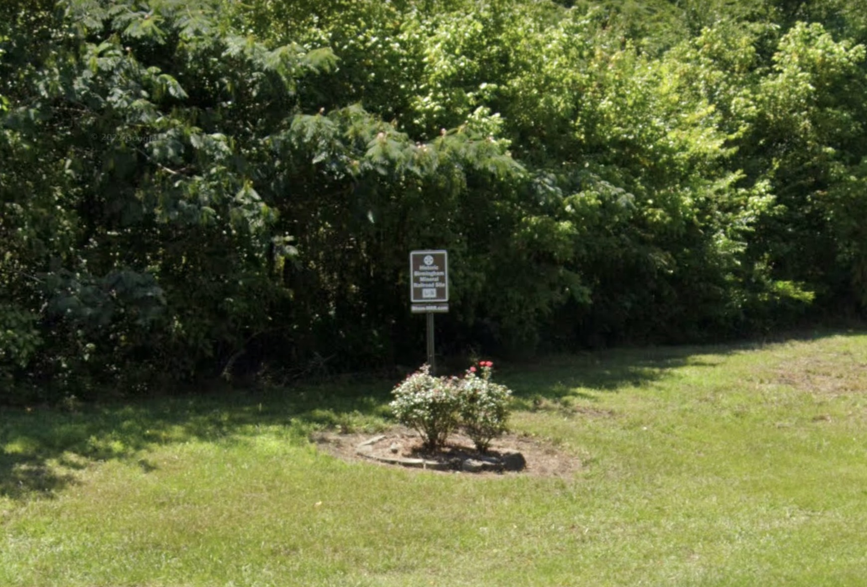
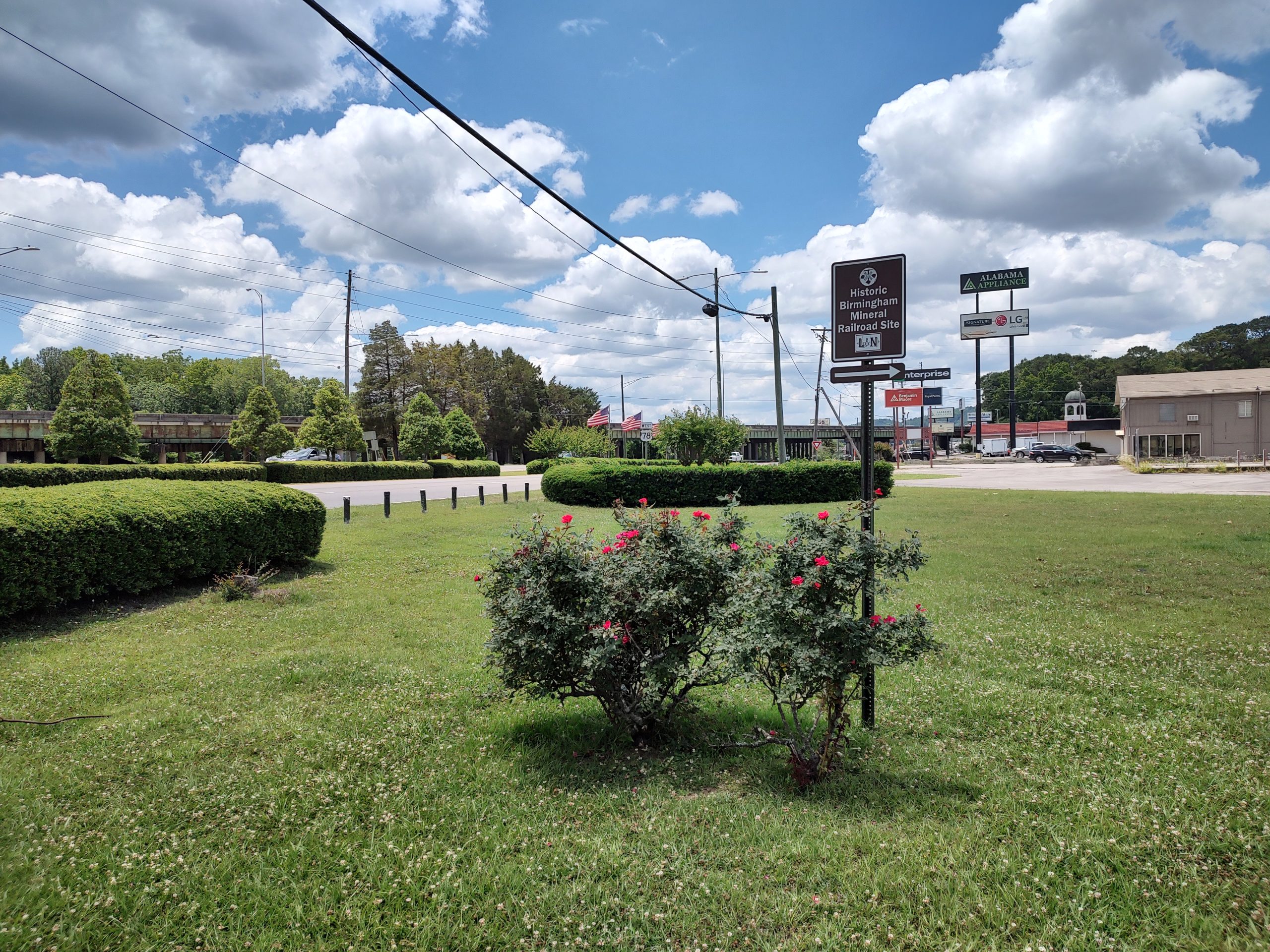
Signs with landscaping that has been added by nearby residents or governments
Maintenance of the BMRR signs is an ongoing task, and often that involves removing Kudzu vines or trimming back a few small tree limbs that have grown out in front of the sign. However, sometimes the natural landscaping growing beside or near one of the signs enhances the view of the sign and helps the sign fit into the area around it. And, sometimes local residents or a governmental entity adds beautiful flowers or shrubbery at the base of the sign post. Examples of all of these enhancements are shown in the following photographs.
GENERAL SIGN INSTALLATIONS:
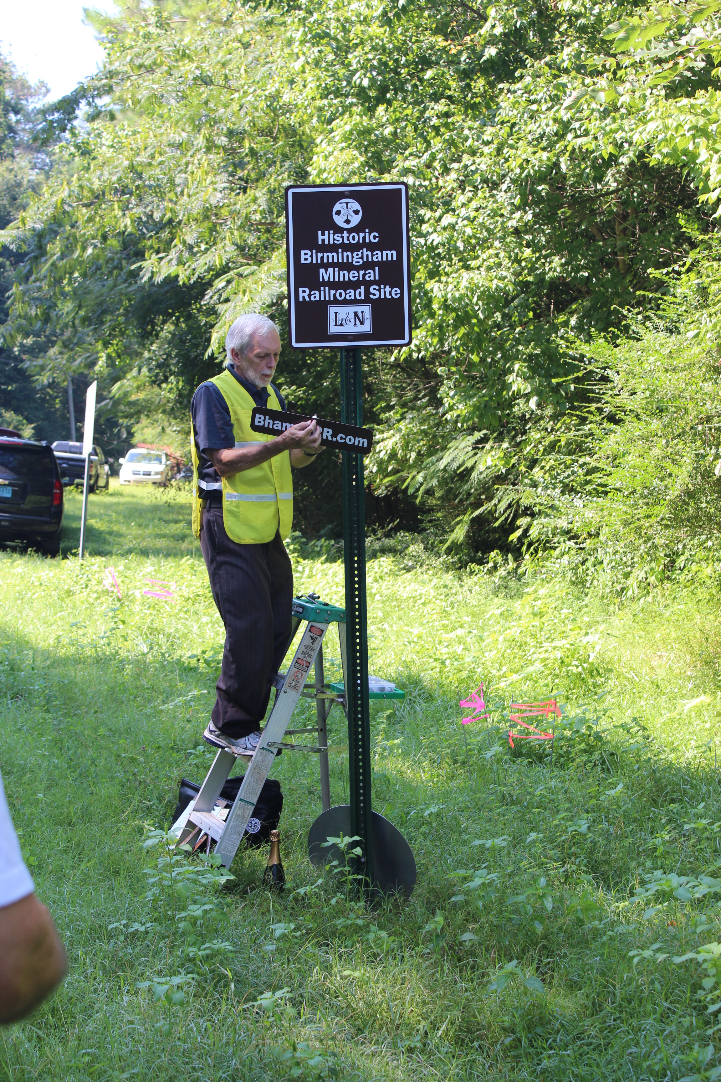
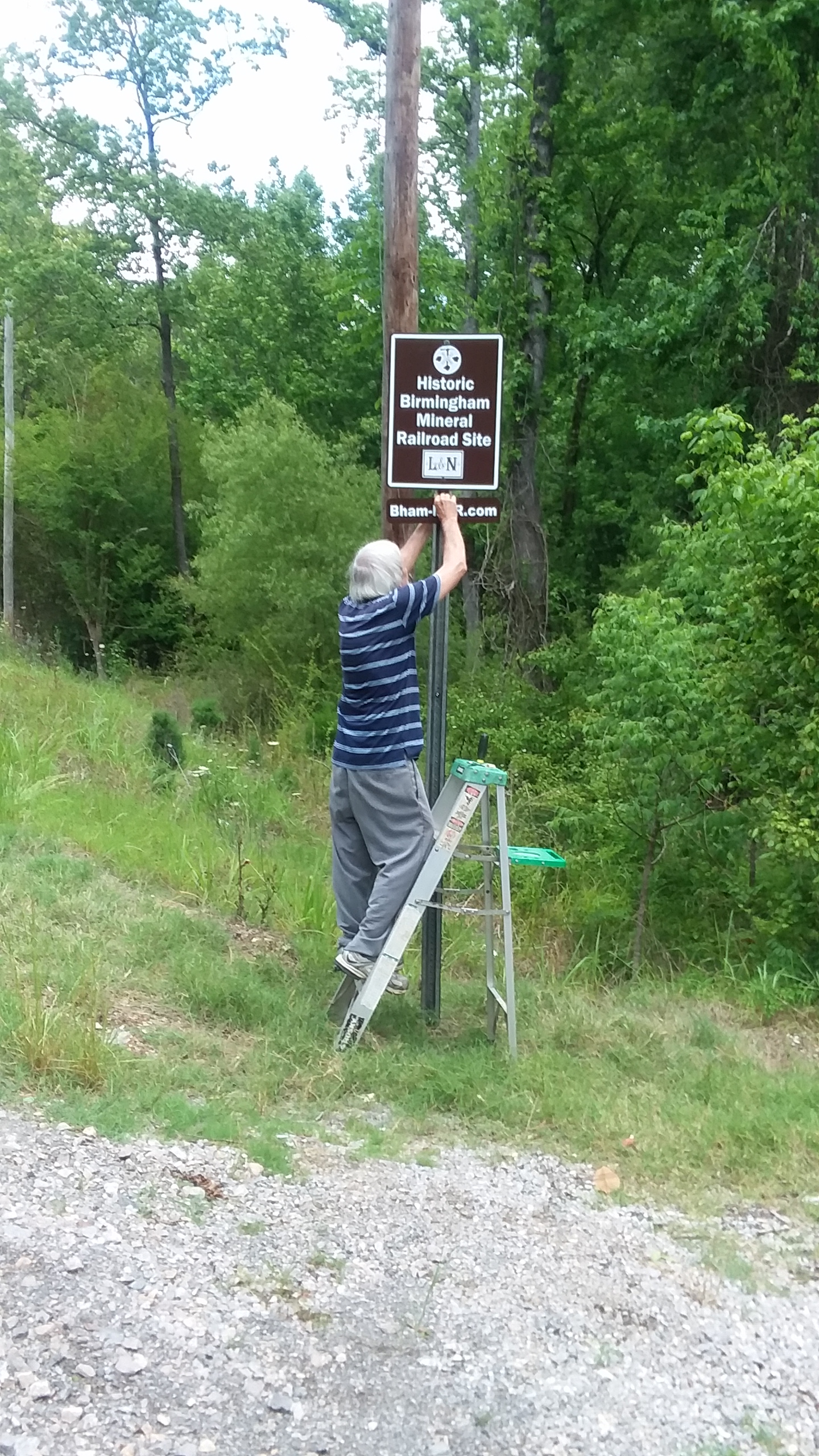
James Lowery installing a sign at Messer Airport Highway and Aviation Avenue (Aviation Avenue is built on the former BMRR roadbed — Gate City Branch.) (Photograph provided by Peggy Lowery.)
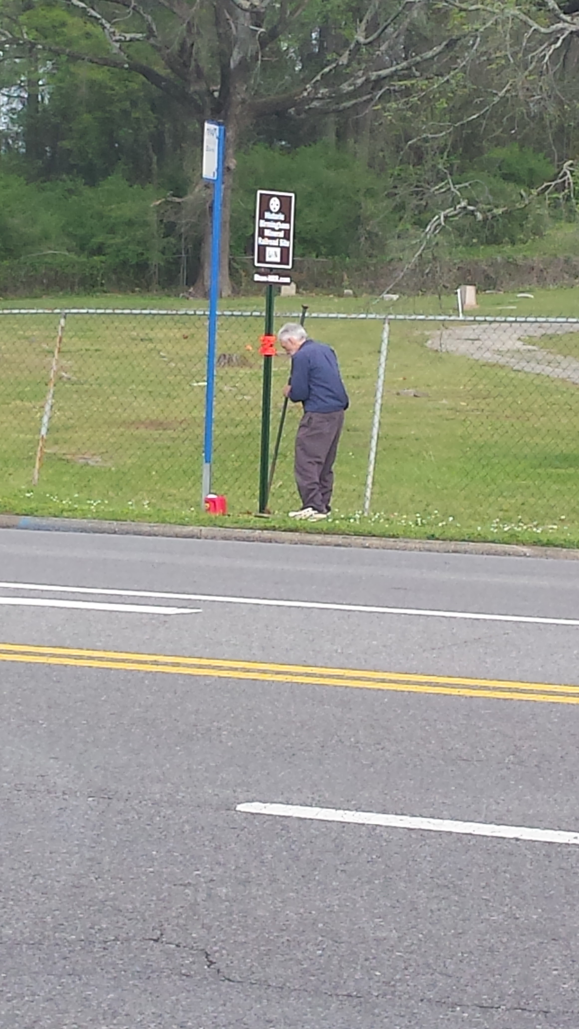
Grandson Jax Hendrick taking GPS reading after installation of sign in southwest Birmingham.
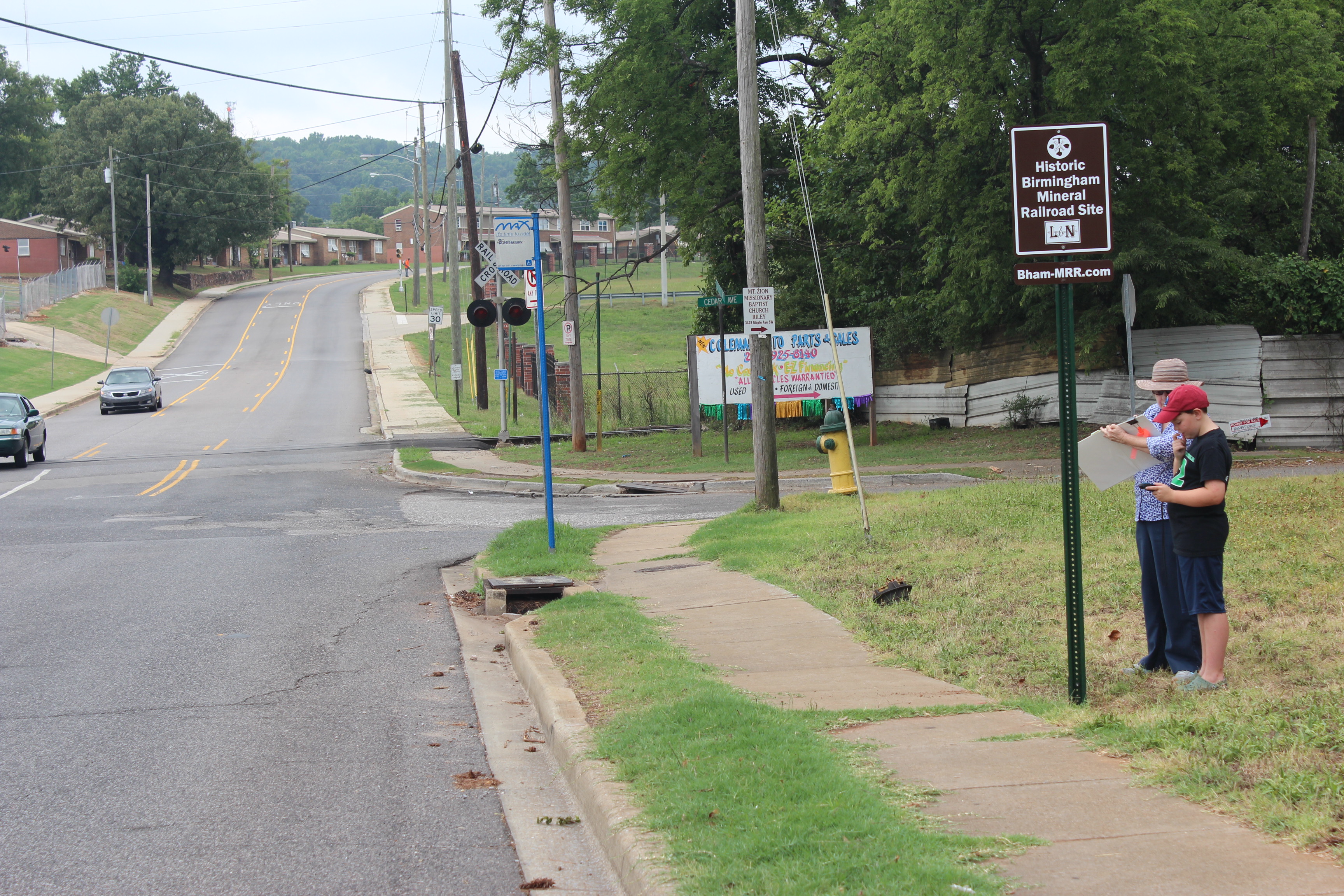
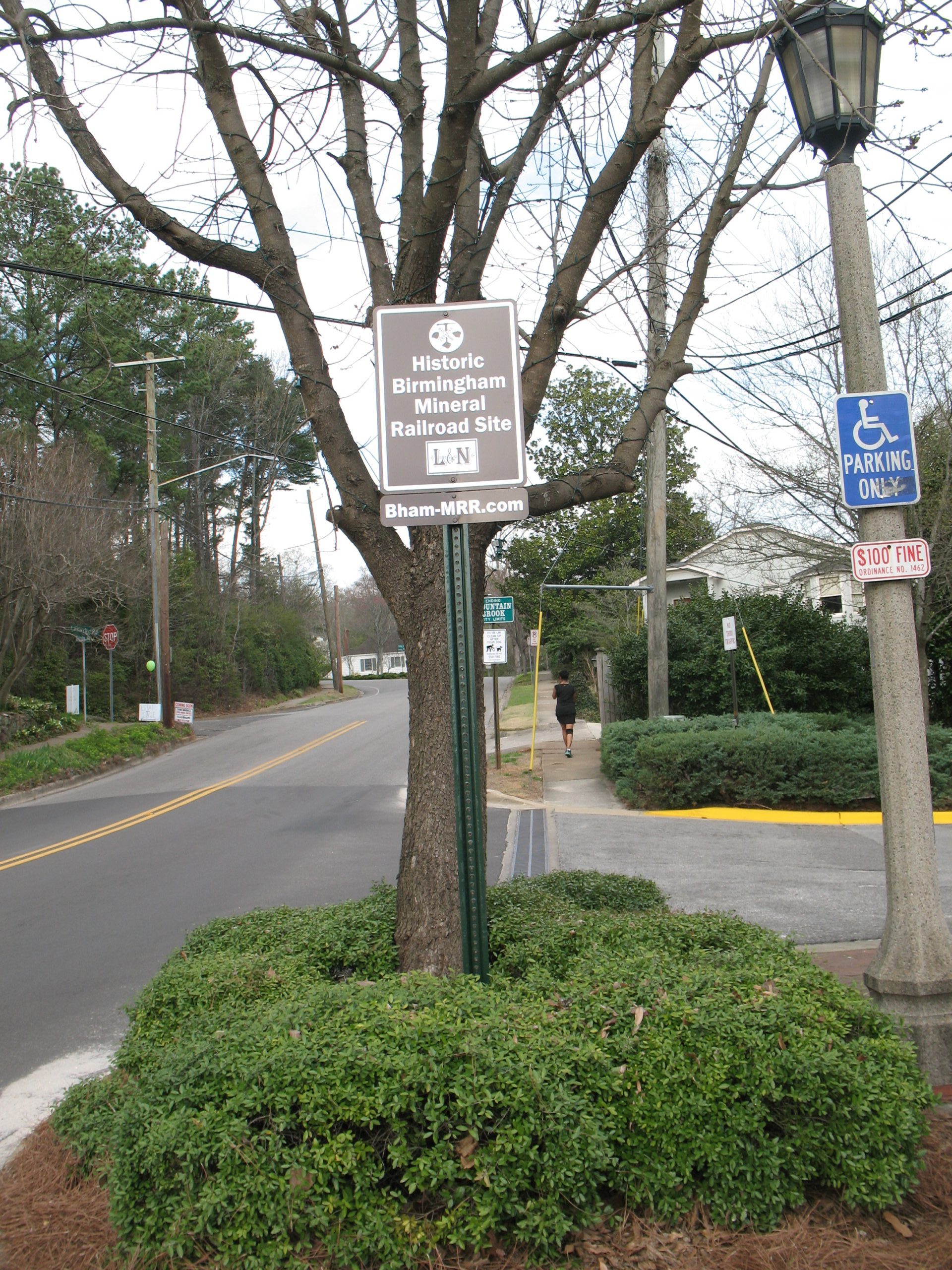
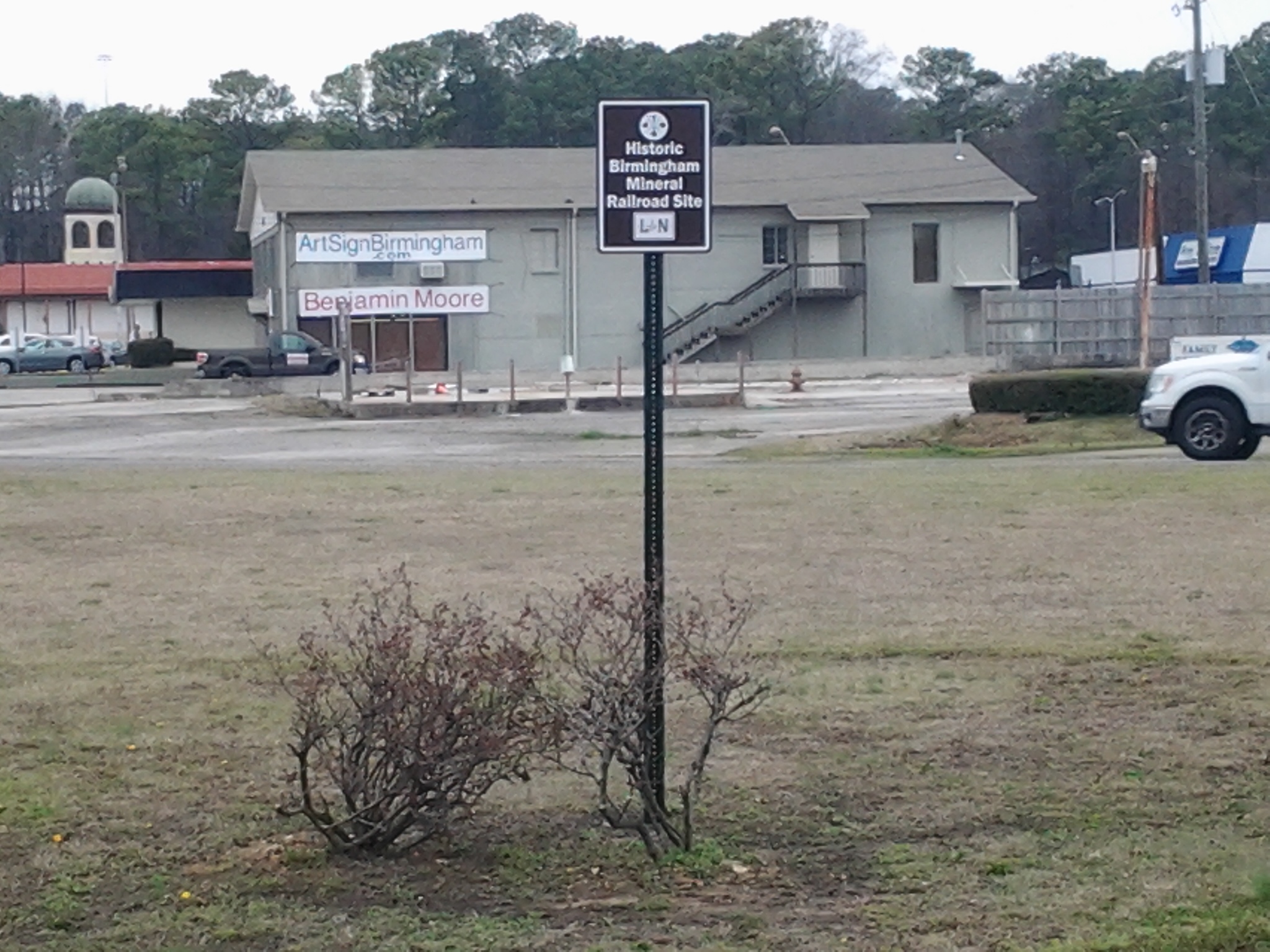
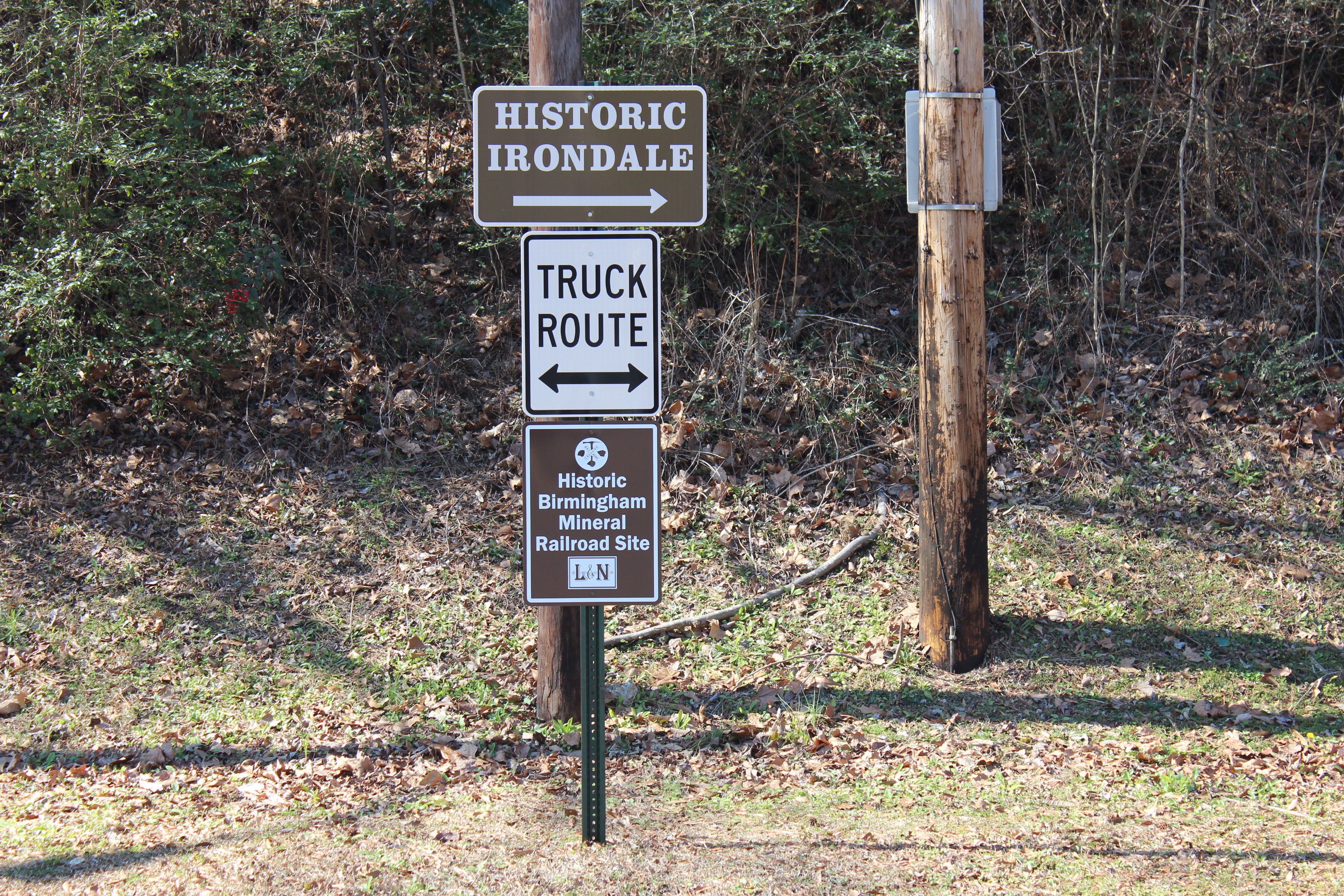
Example Additional Locations Where Signs Have Been Installed:
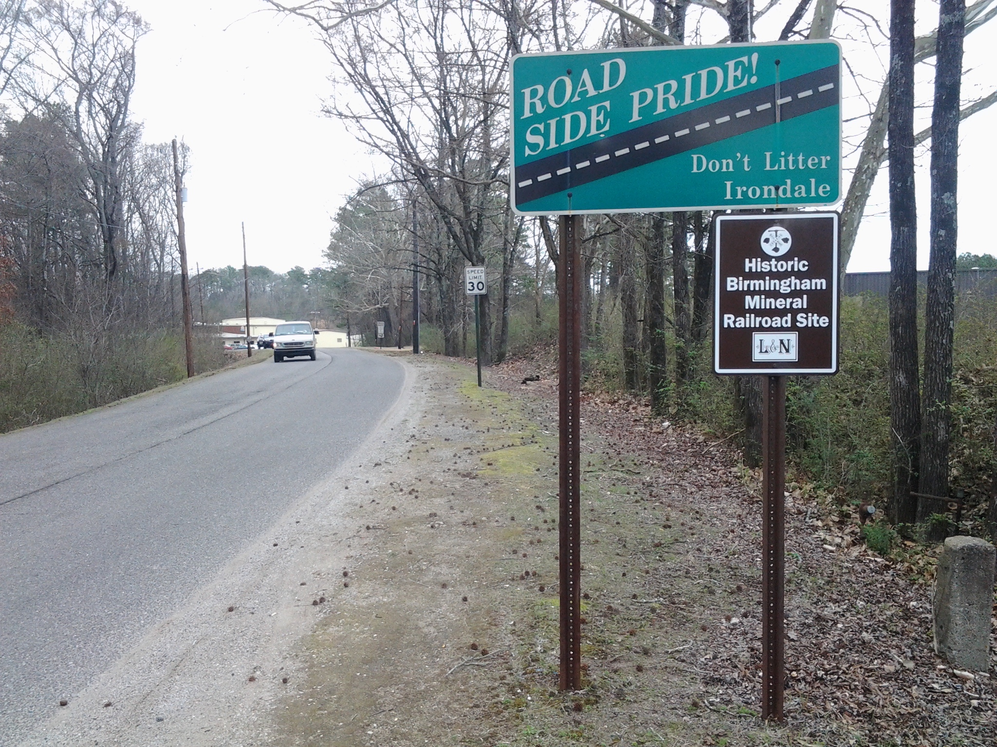
Irondale
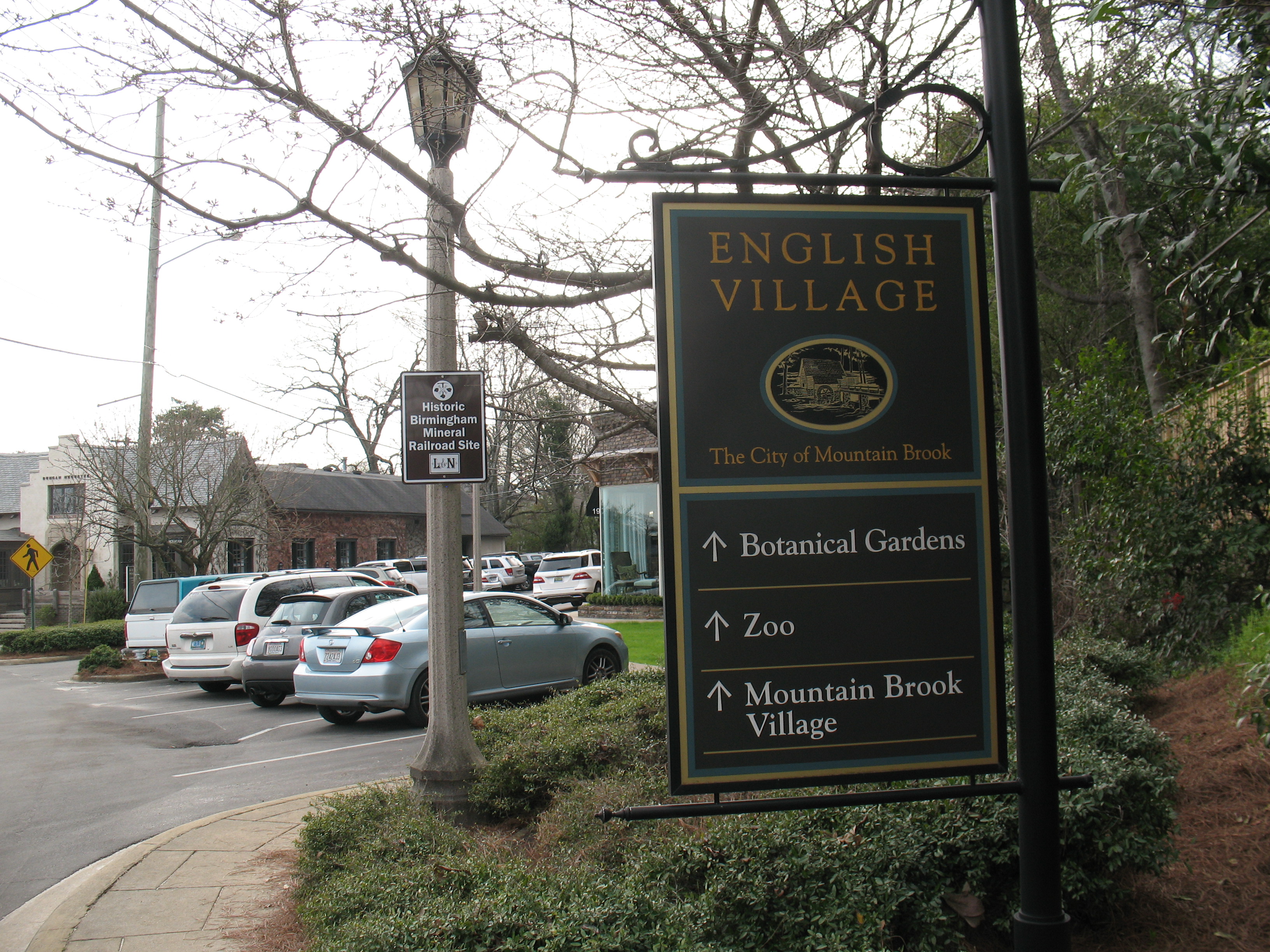
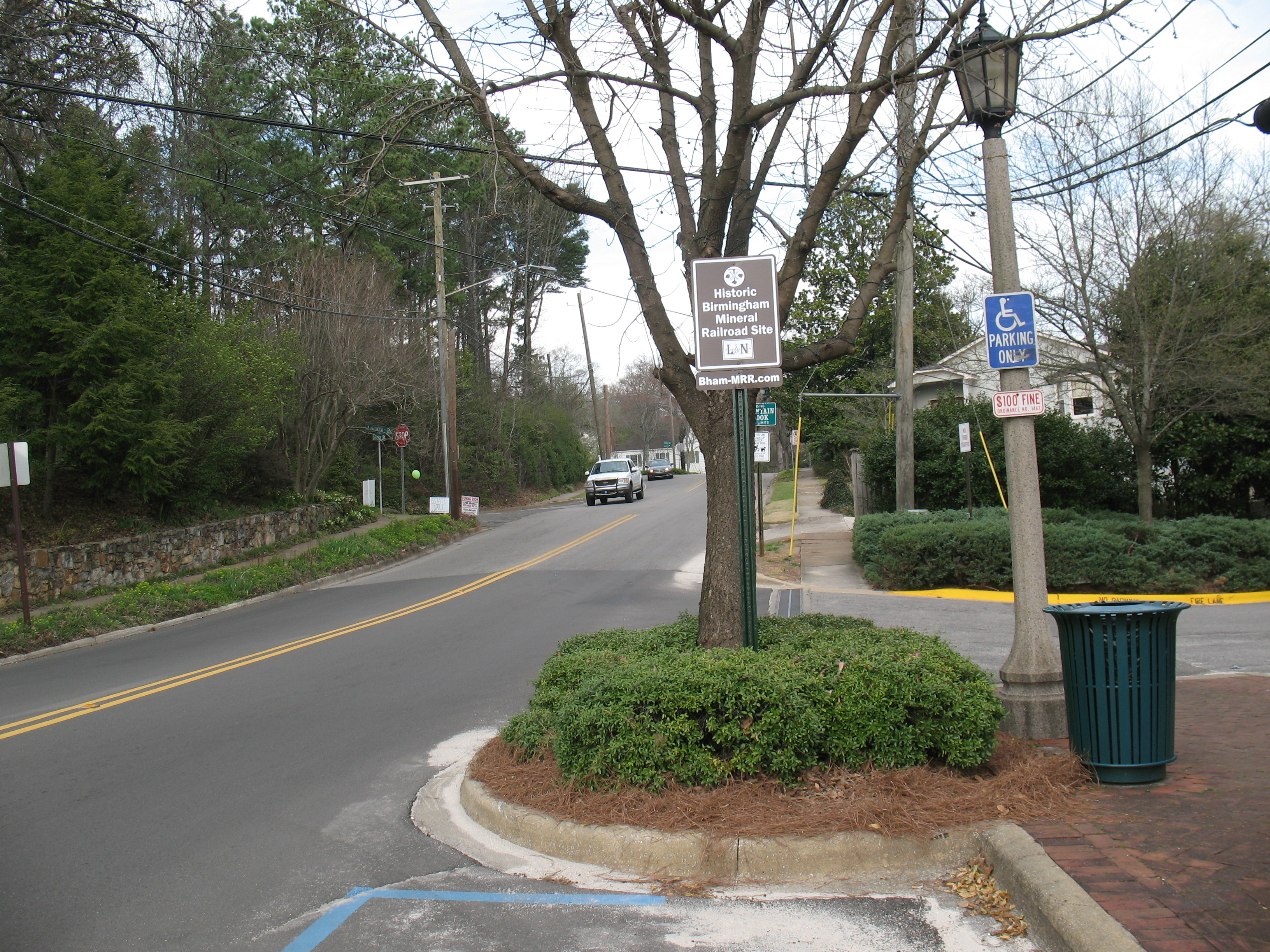
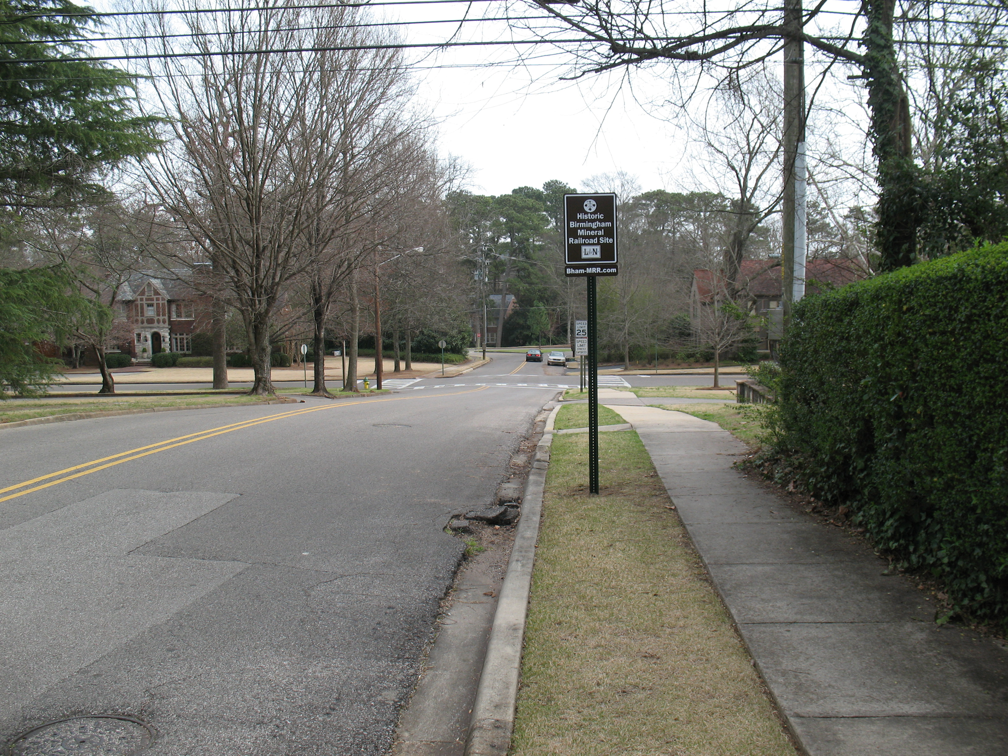
Mountain Brook and English Village
Walking Trail below Trinity Hospital on Montclair Road

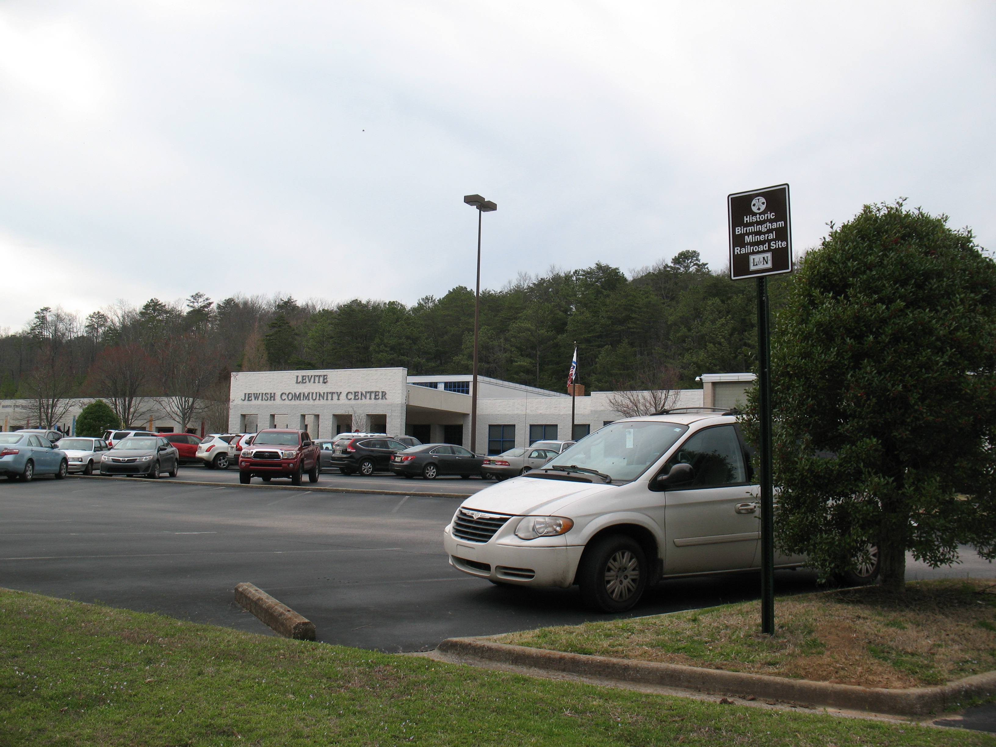
Levite Jewish Community Center
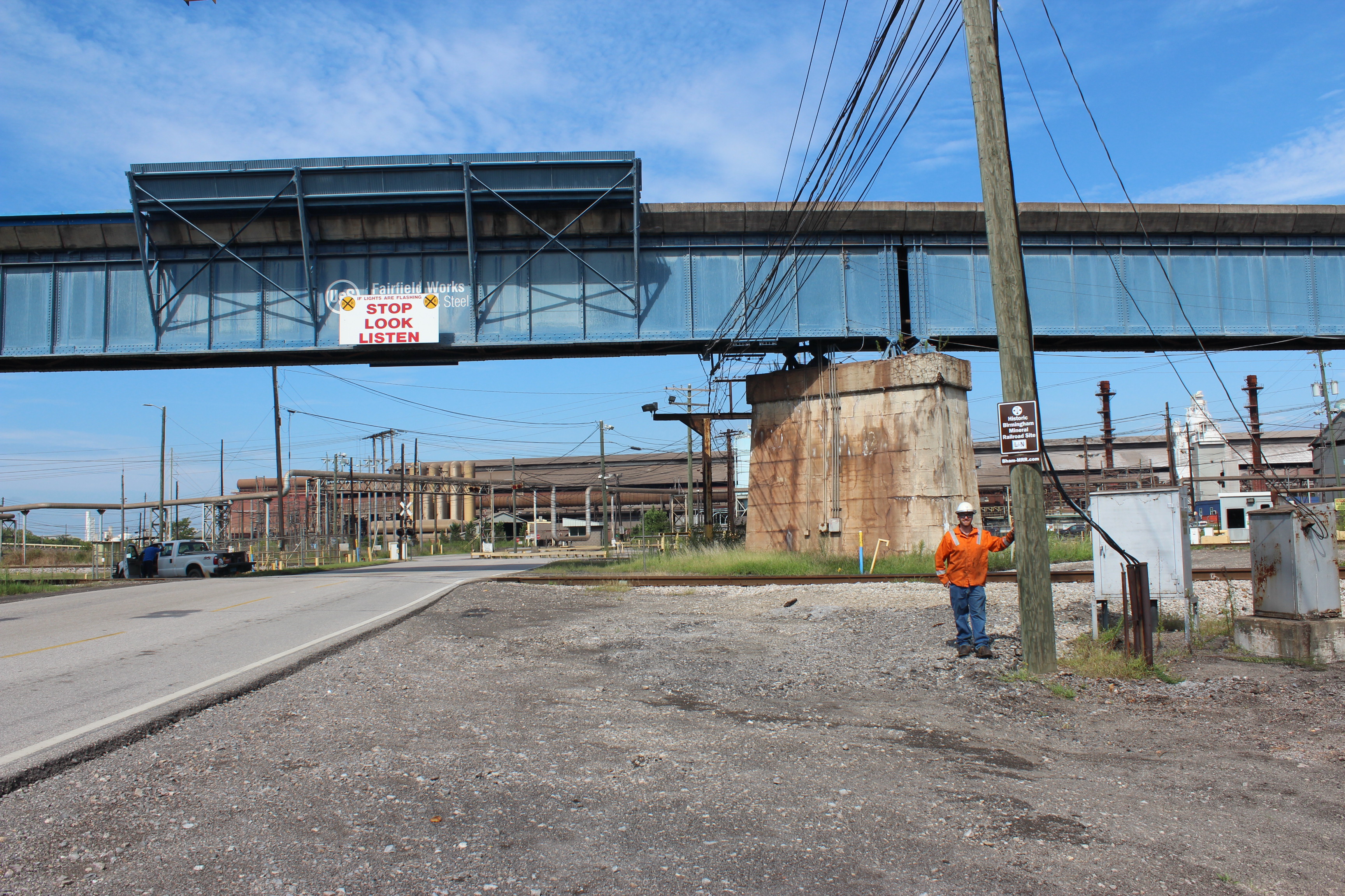
US Steel Corporation, Fairfield Works (at active freight tracks on former BMRR roadbed)
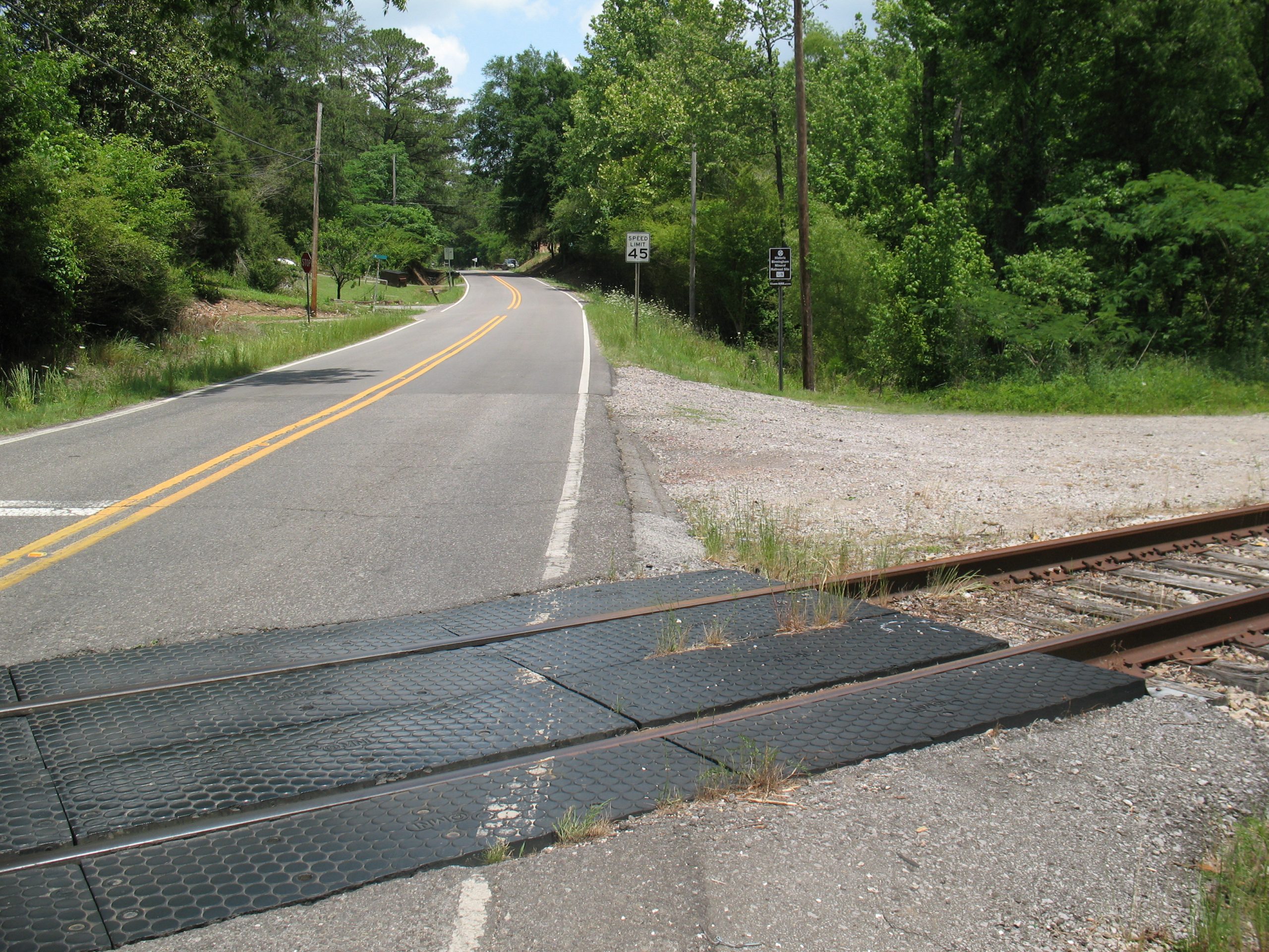
25th Street North at 29th Avenue North — Photo One (near active freight tracks on former BMRR roadbed)
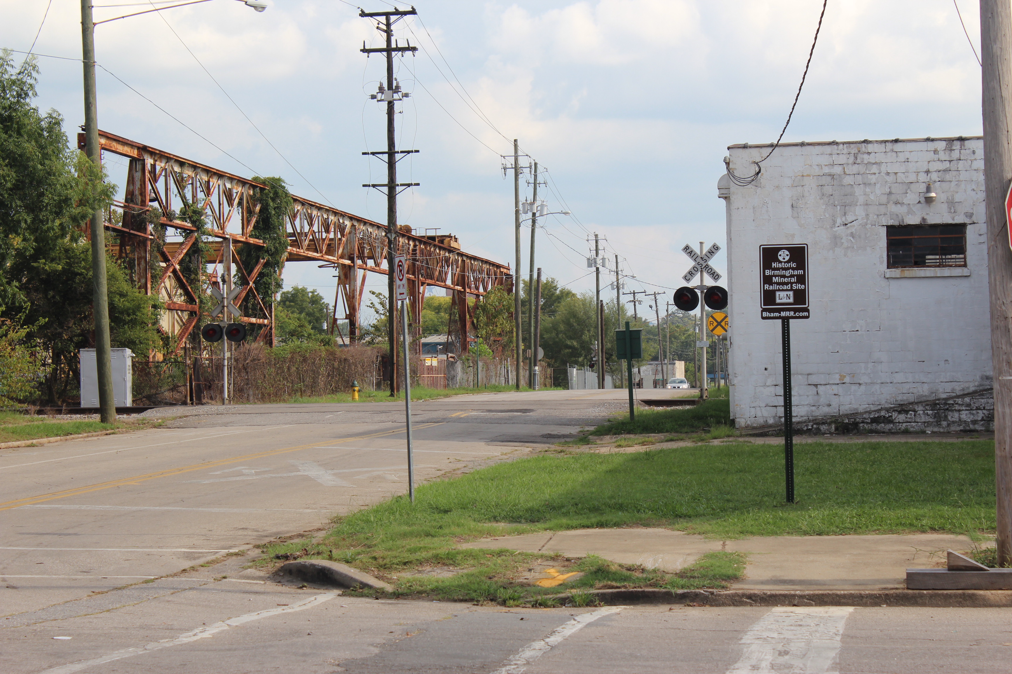
25th Street North at 29th Avenue North — Photo Two
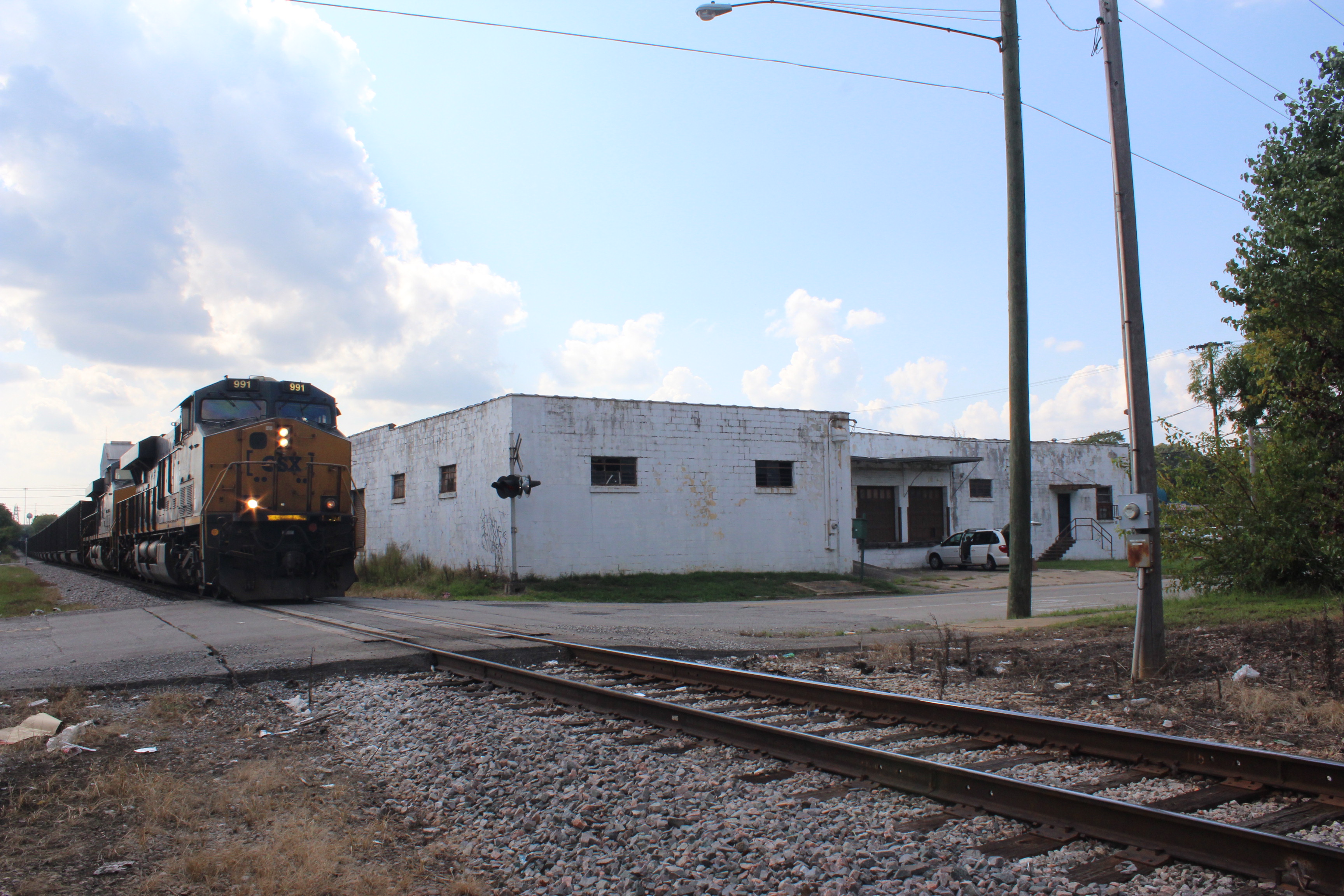
(See also next photograph.)
25th Street North at 29th Avenue North — Photo Three — NOTE BMRR RAIL STICKING OUT FROM EDGE OF PAVEMENT (bottom left of photo)
Vulcan Trail (one of four installed signs)

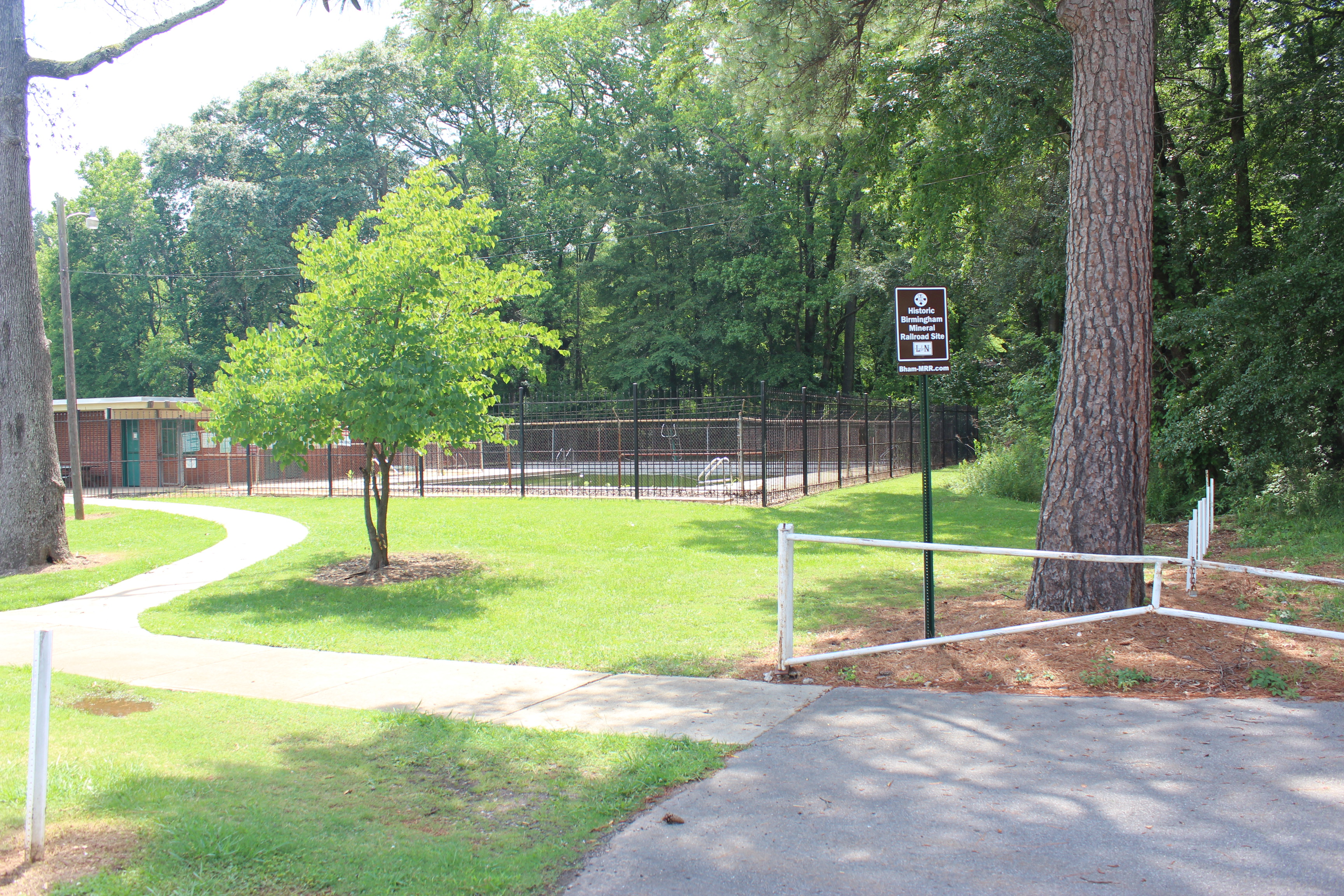
Ruffner Mountain Nature Preserve (Example of signs installed along the BMRR roadbed inside the Preserve; signs also have been installed at the two trail entrances on the Irondale side of the Preserve.) NOTE: Sign was installed on re-purposed old fence post.
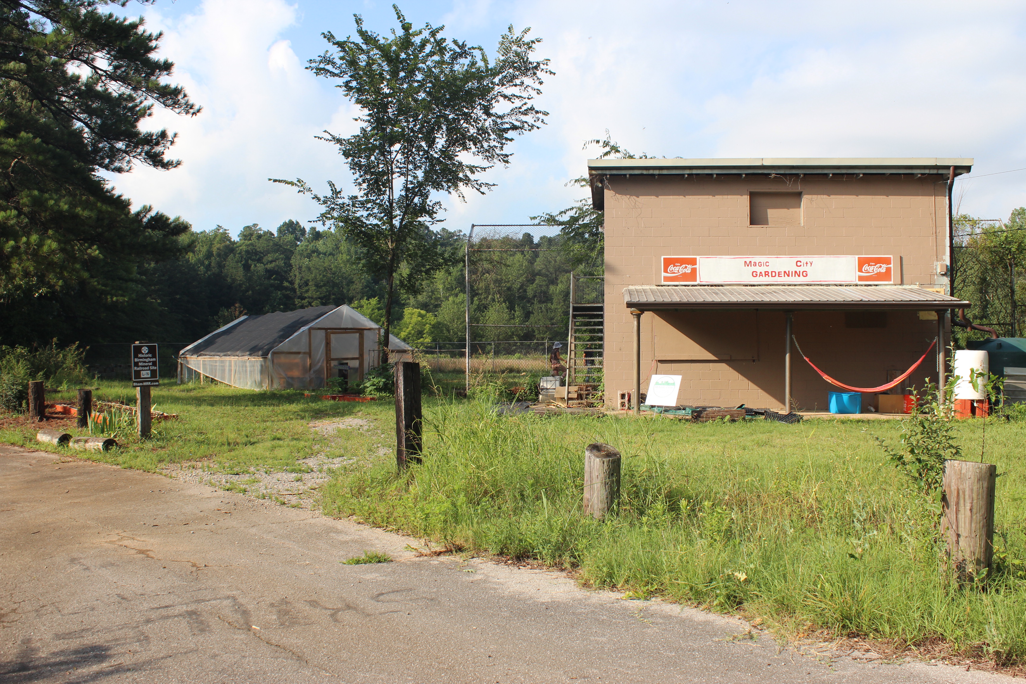
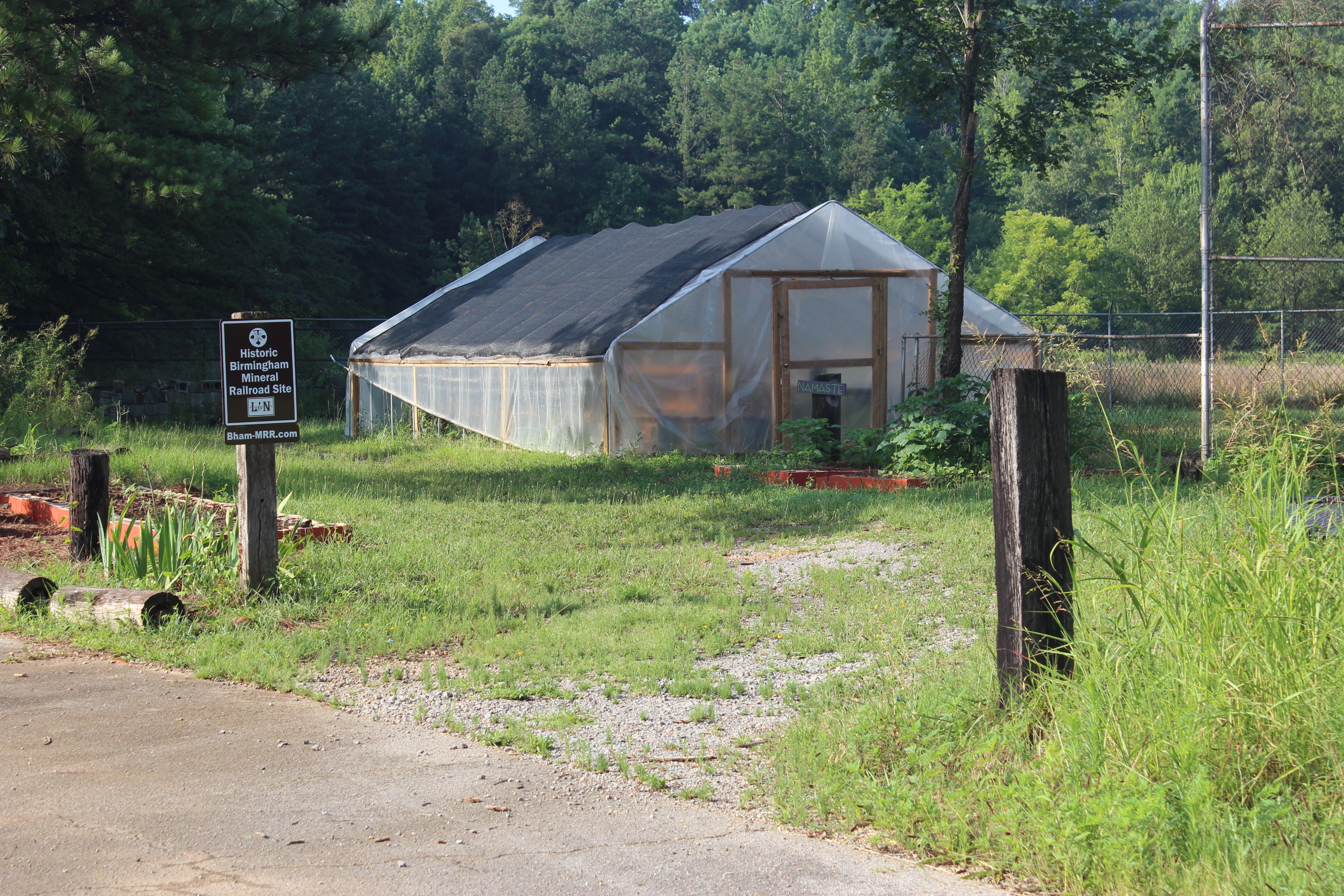
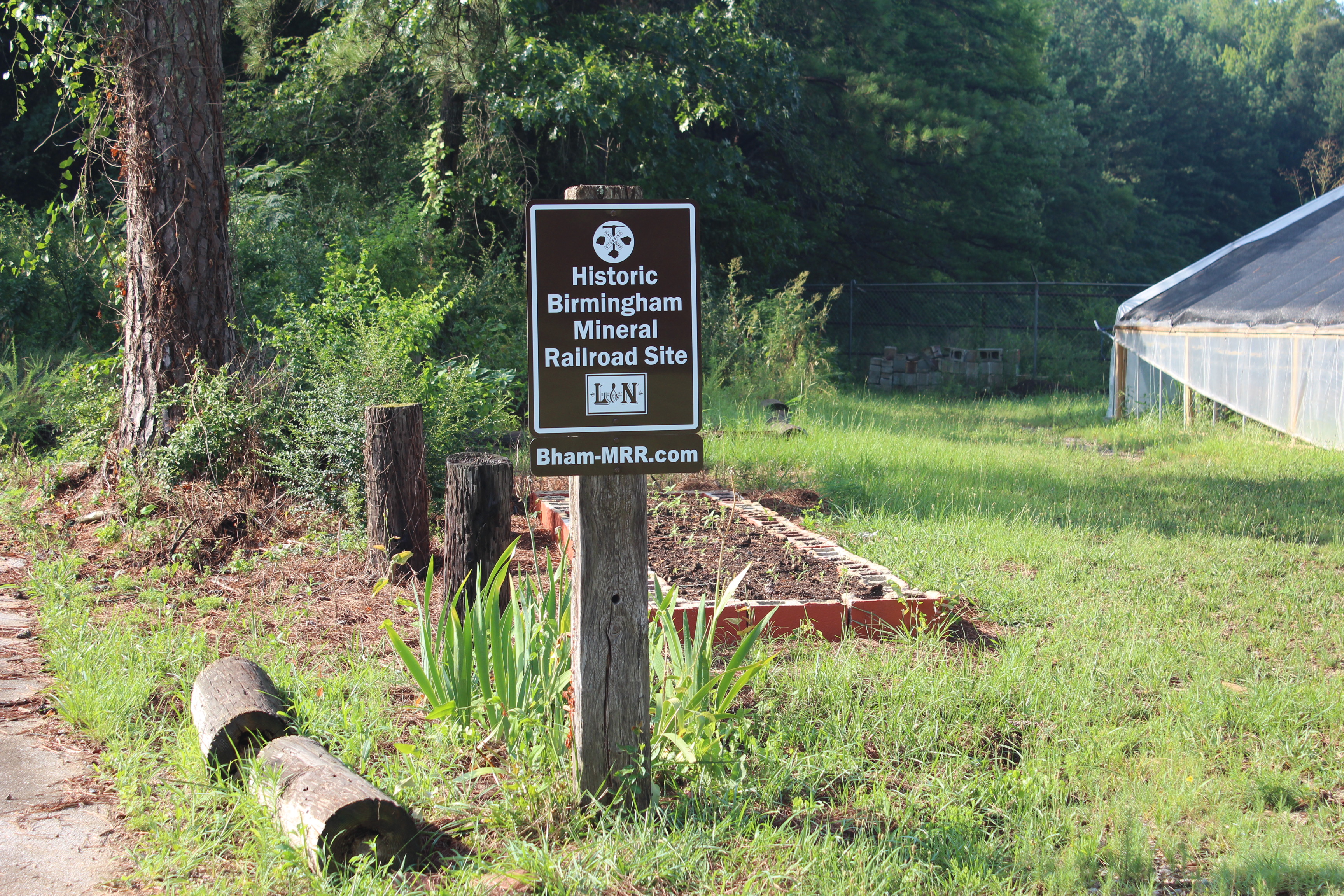
Ruffner Mountain Nature Preserve — Property located at the end of Dogwood Drive at site of former South Roebuck Ballpark and Swimming Pool (currently used by Magic City Gardening). Sign is attached to old railroad crosstie previously vertically installed at entrance to ballpark and now re-purposed for mounting the BMRR sign. BMRR roadbed is in the wooded area beyond the former ballpark and swimming pool, but the roadbed is on private property and must not be entered without permission of the owner.
Beulah Lewis Park (Gate City area)
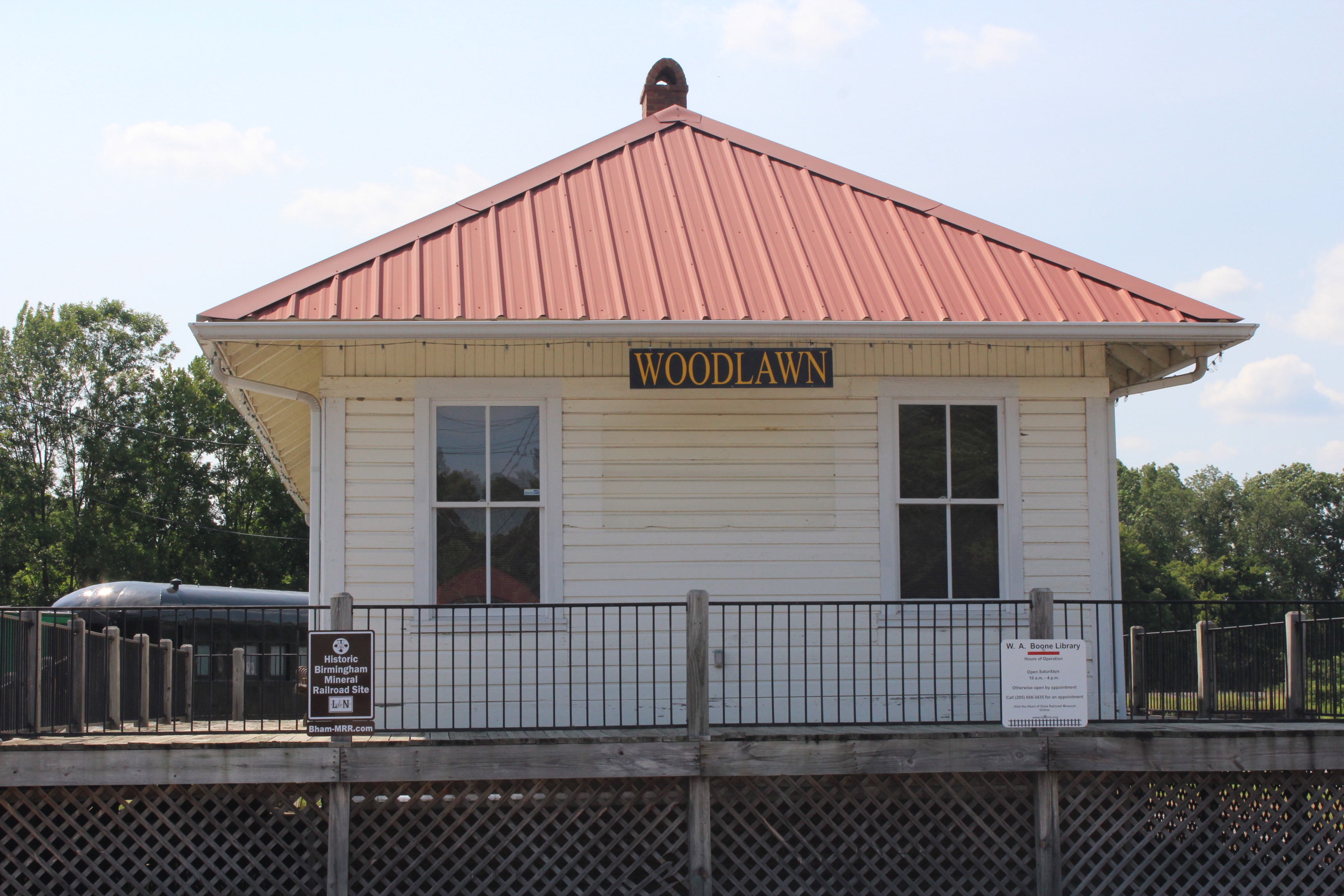
Restored Woodlawn Depot (Boone Library, Heart of Dixie Railroad Museum, Calera, Alabama)

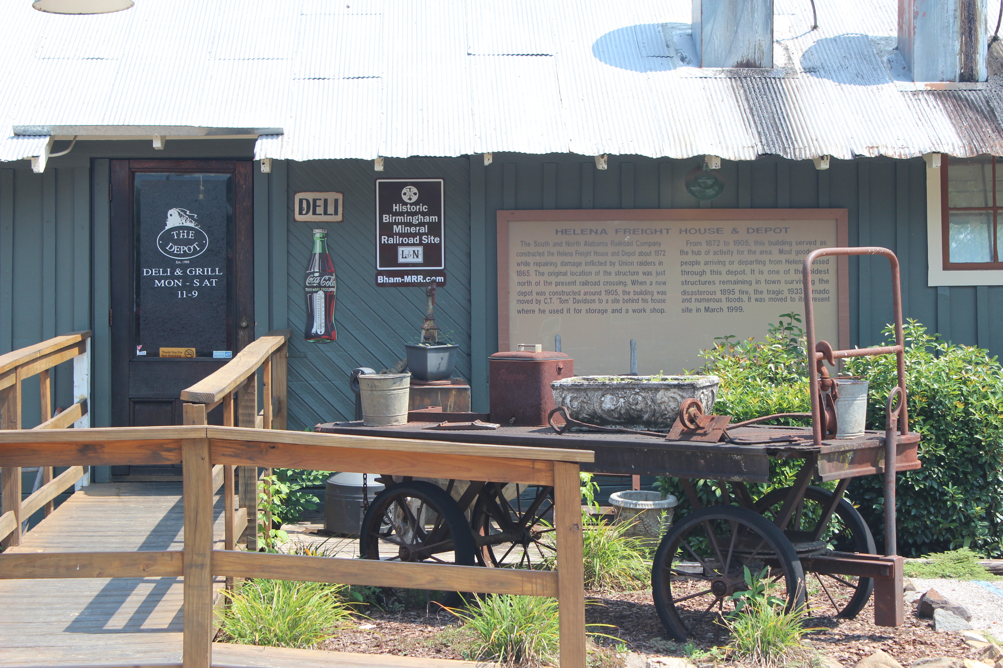
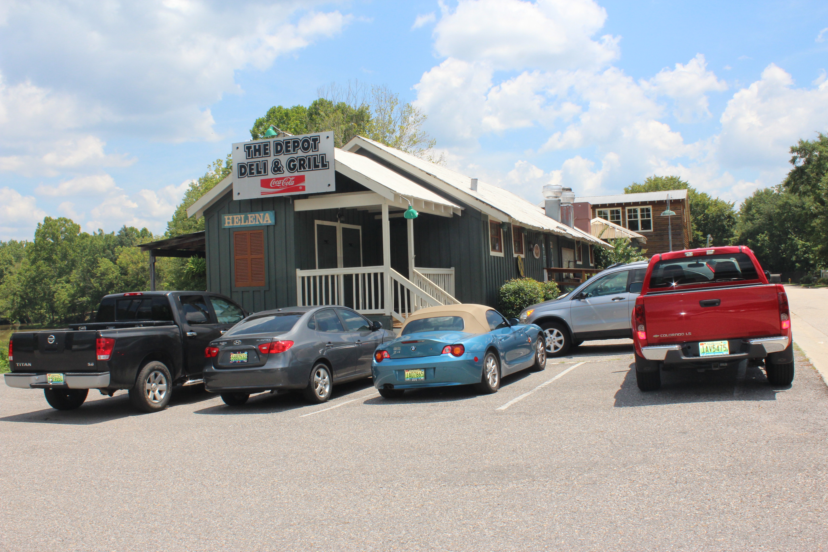
1872 Helena Freight House and Depot (Re-purposed as a present-day restaurant)
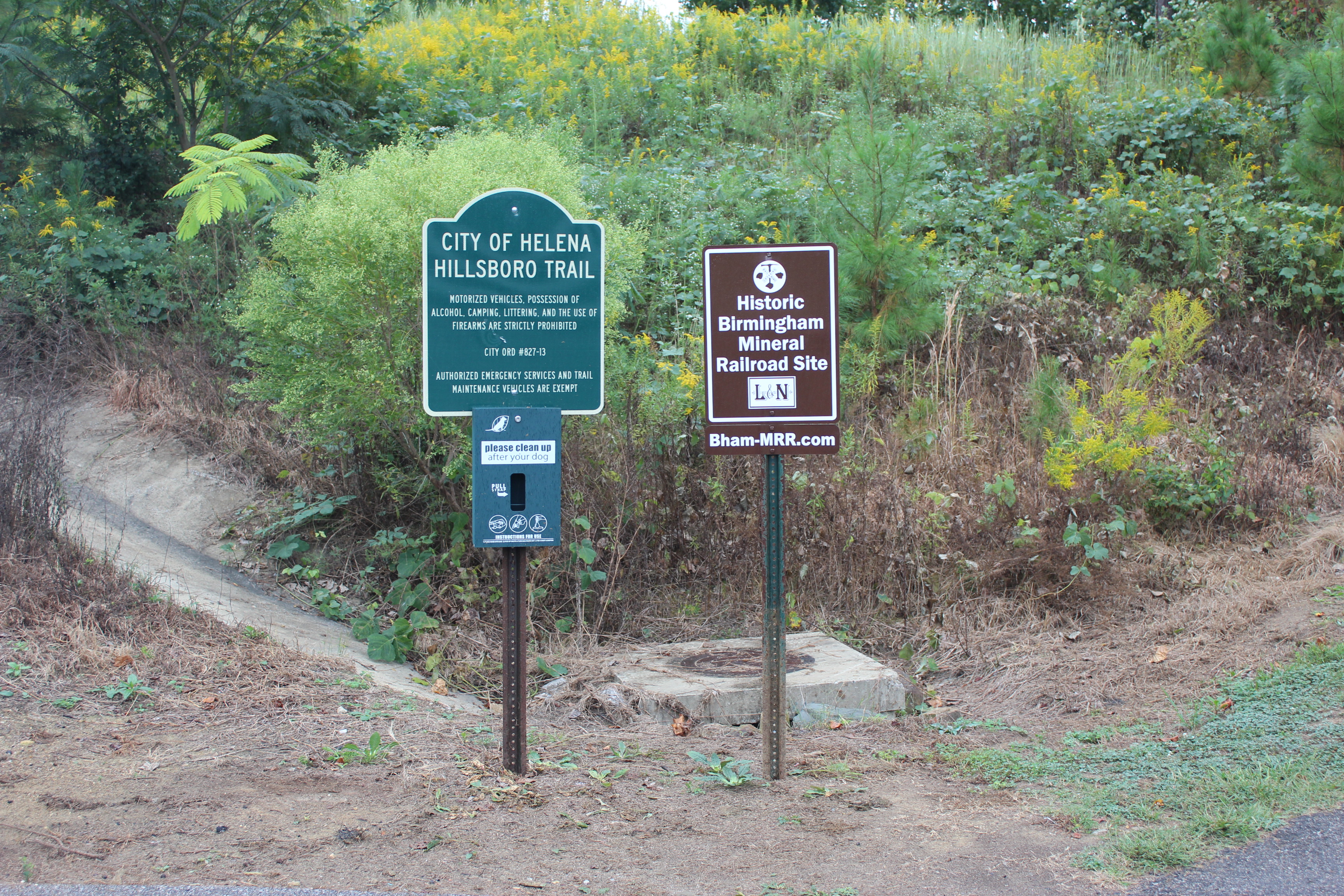
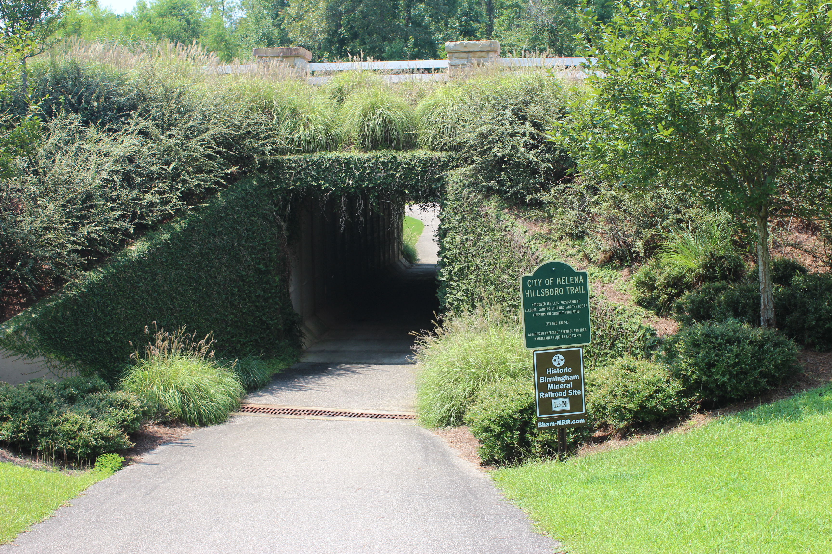
Helena — Hillsboro Trail (Uses the former BMRR roadbed)
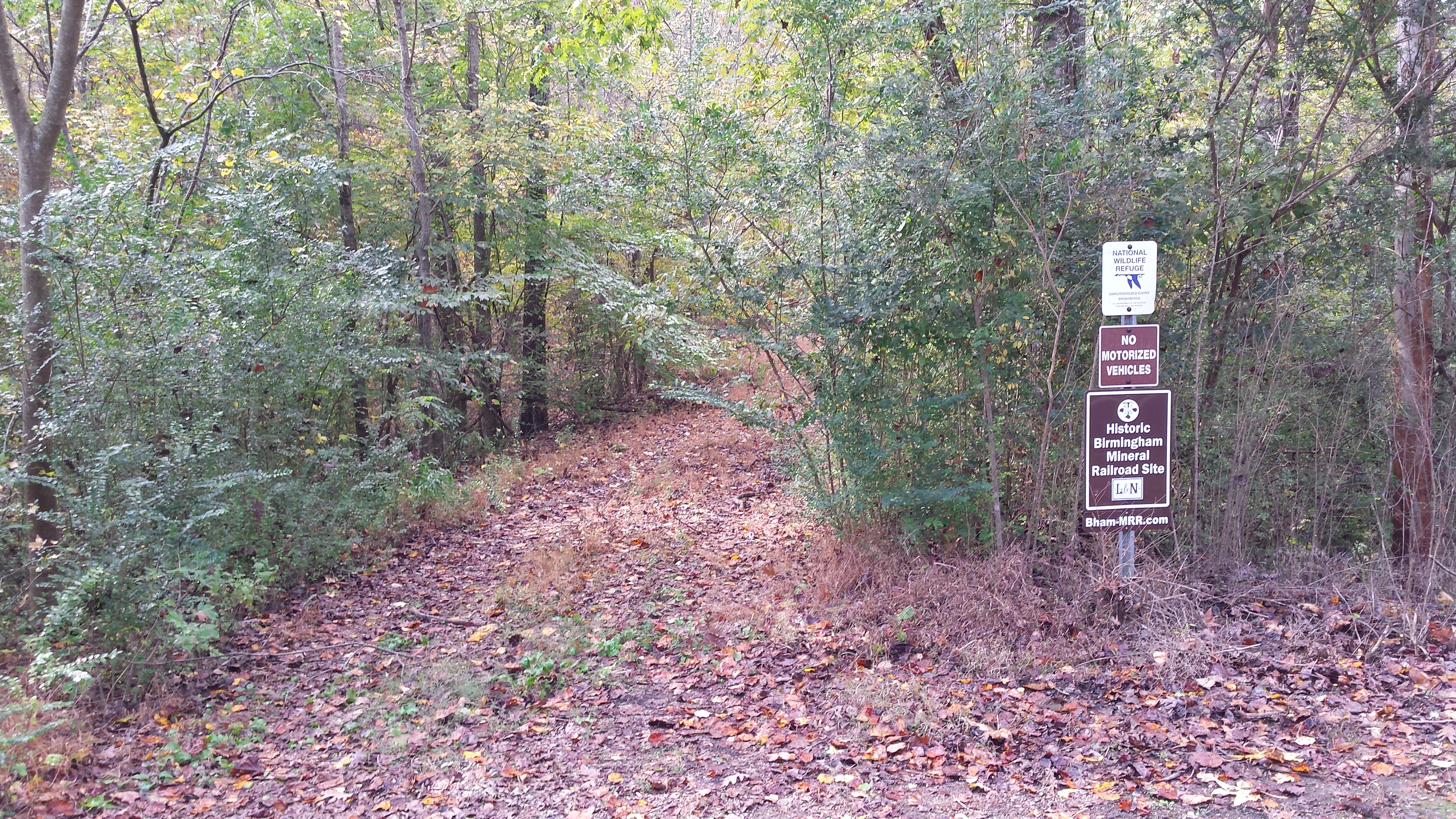
Cahaba River National Wildlife Refuge (Southeast of West Blocton) — Northeast and Southwest sides of Bibb County Highway 24
Bibb County Highway 24
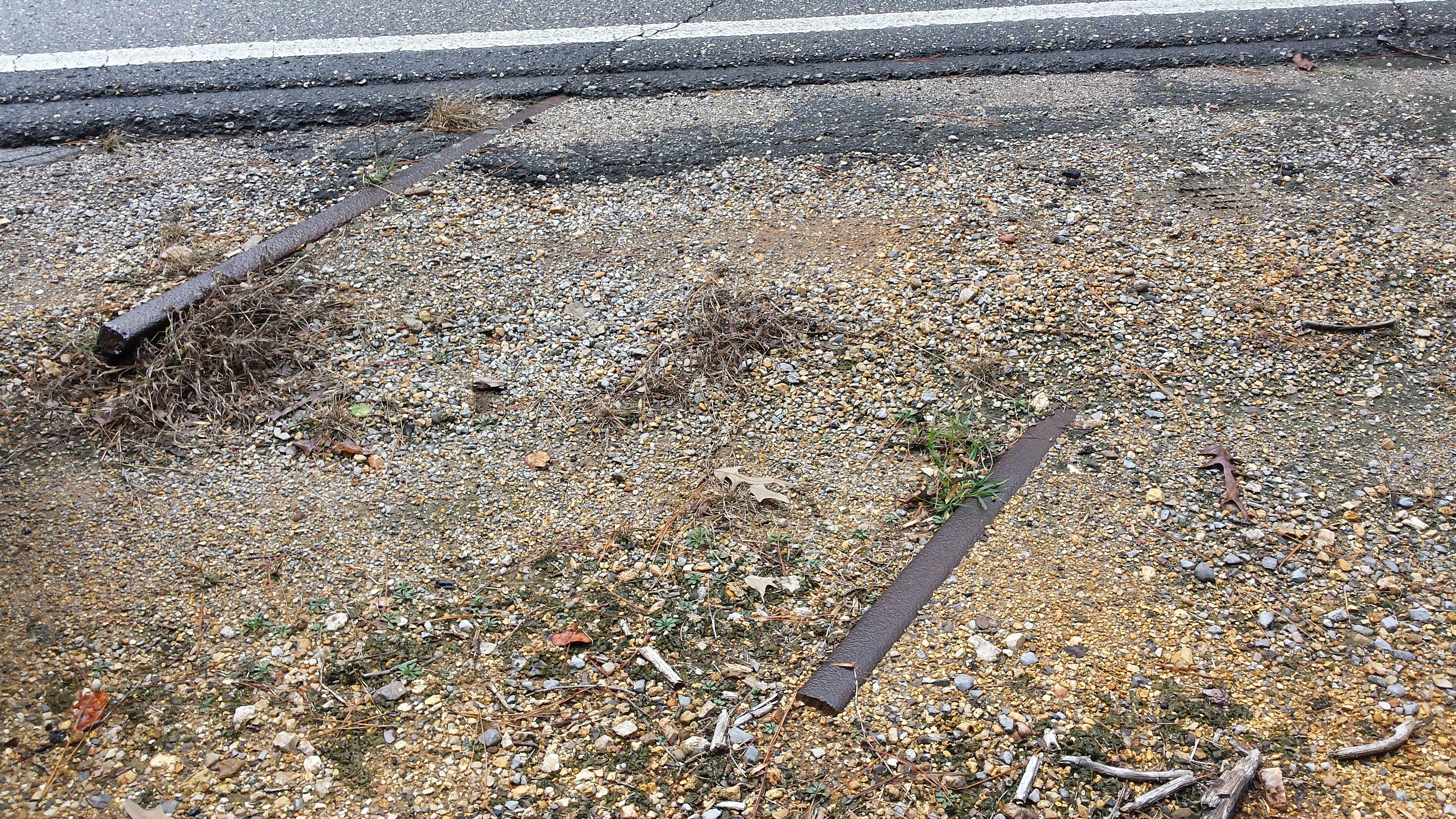
Rails still in place and extending out from under asphalt on Highway 24
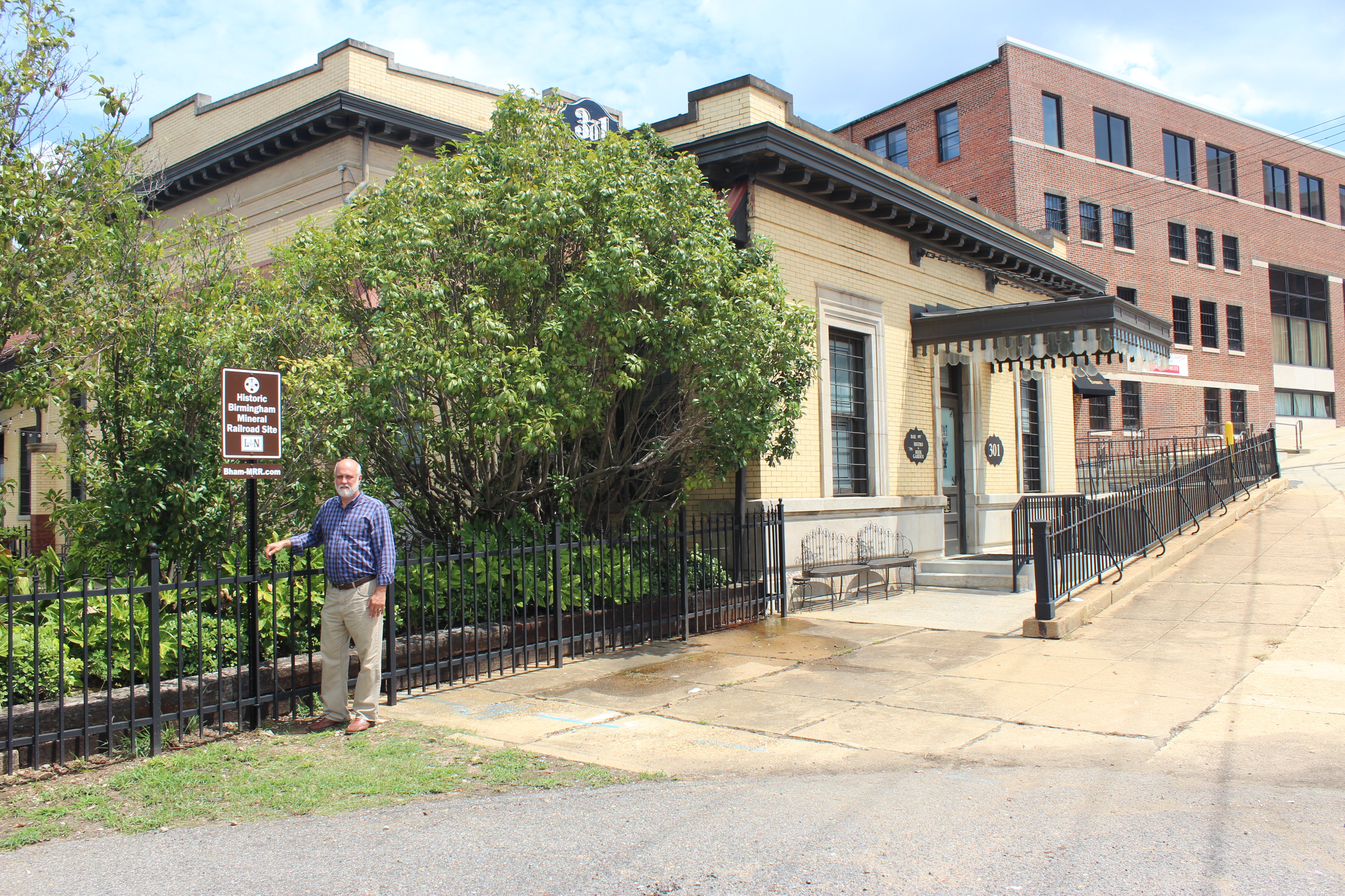
Restored Tuscaloosa L&N Depot — 301 Greensboro Avenue, Tuscaloosa (Restored and re-purposed as a present-day restaurant)
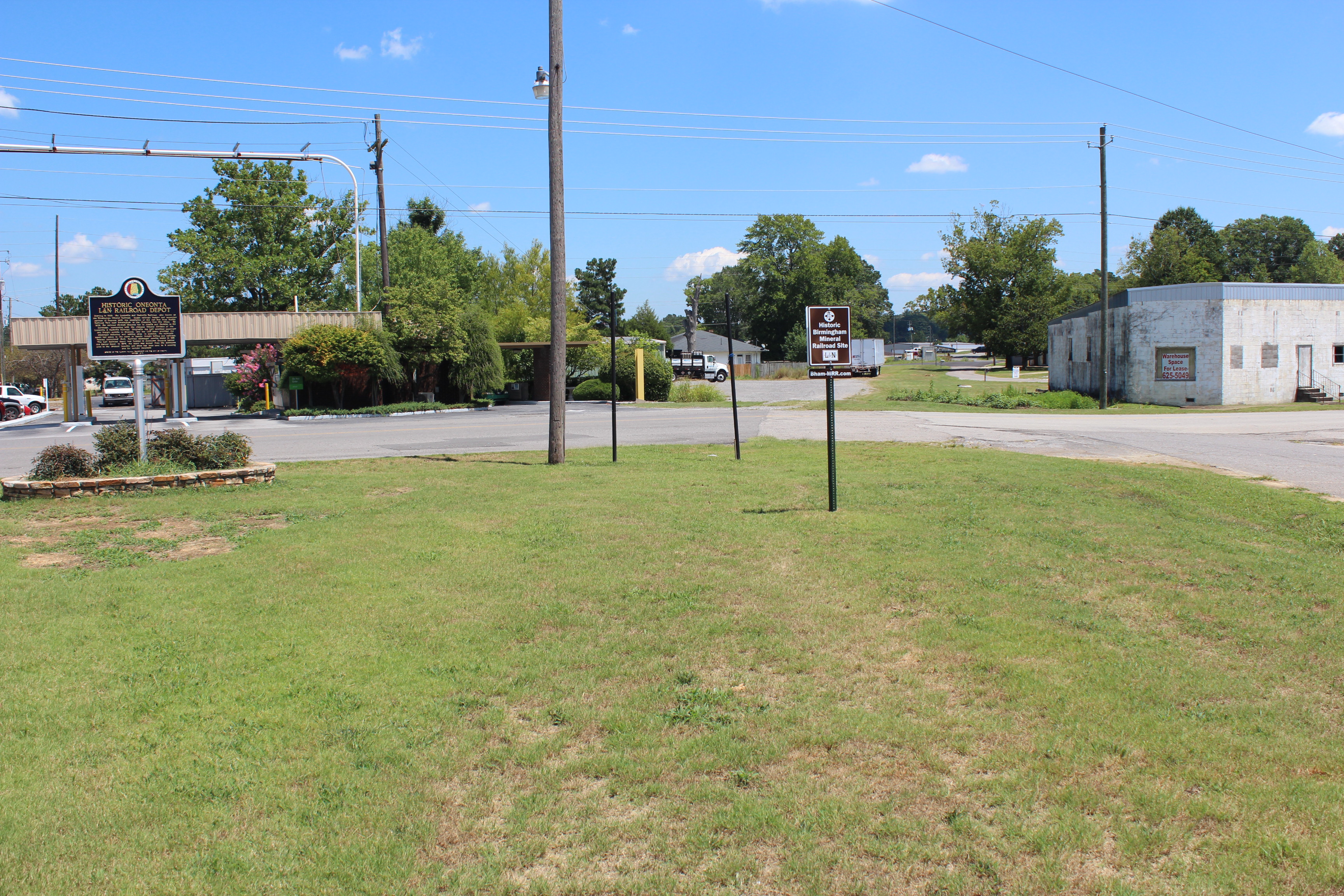
Oneonta Depot (Re-purposed as a present-day meeting facility and offices)

Oneonta Downtown beside historic marker on Railroad Boulevard
NOTE: BMRR sign is installed in the former BMRR roadbed at Railroad Boulevard. Another BMRR sign also is installed beside Champion Mines historic marker on US Highway 231.